MyTopo
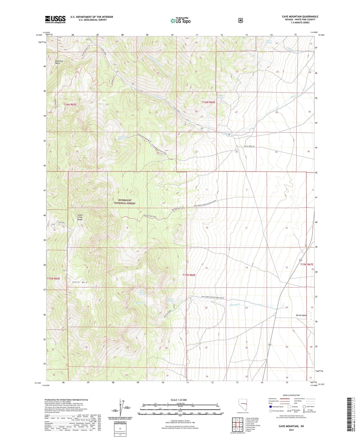
Cave Mountain Nevada US Topo Map
Couldn't load pickup availability
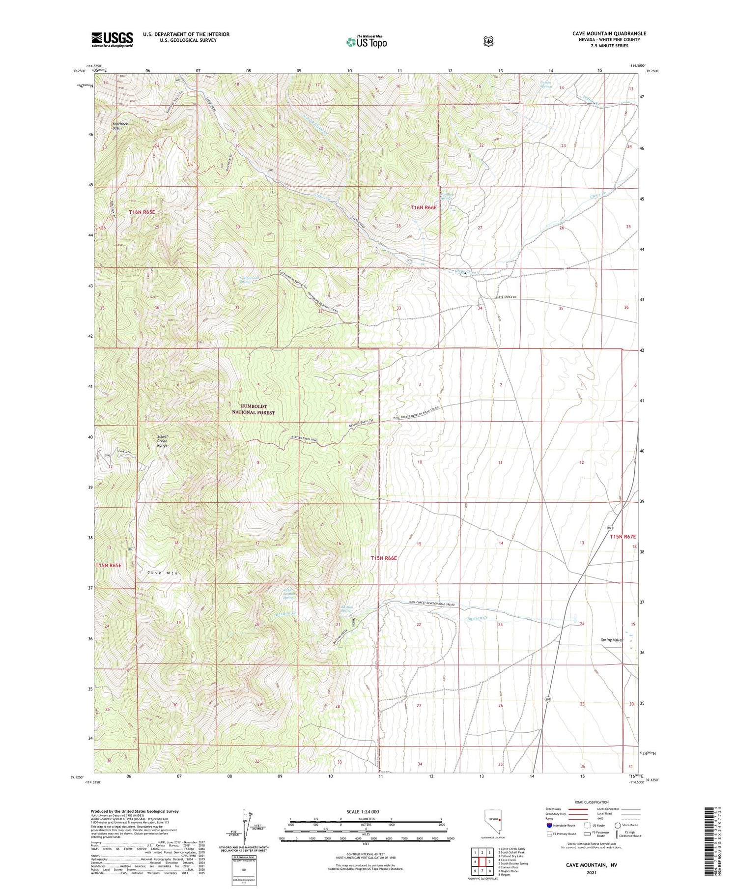
Also explore the Cave Mountain Forest Service Topo of this same quad for updated USFS data
2021 topographic map quadrangle Cave Mountain in the state of Nevada. Scale: 1:24000. Based on the newly updated USGS 7.5' US Topo map series, this map is in the following counties: White Pine. The map contains contour data, water features, and other items you are used to seeing on USGS maps, but also has updated roads and other features. This is the next generation of topographic maps. Printed on high-quality waterproof paper with UV fade-resistant inks.
Quads adjacent to this one:
West: Cave Creek
Northwest: Cleve Creek Baldy
North: South Schell Peak
Northeast: Yelland Dry Lake
East: South Bastian Spring
Southeast: Hogum
South: Majors Place
Southwest: Connors Pass
This map covers the same area as the classic USGS quad with code o39114b5.
Contains the following named places: Bastian Creek, Bastian Creek Ranch, Bastian Spring, Cave Mountain, Cleve Creek Administrative Site, Cleve Creek Campground, Cleve Creek Mining District, Cottonwood Spring, Indian Springs, Kolcheck Basin, Kolcheck Springs, North Fork Cleve Creek, Upper Bastian Spring