MyTopo
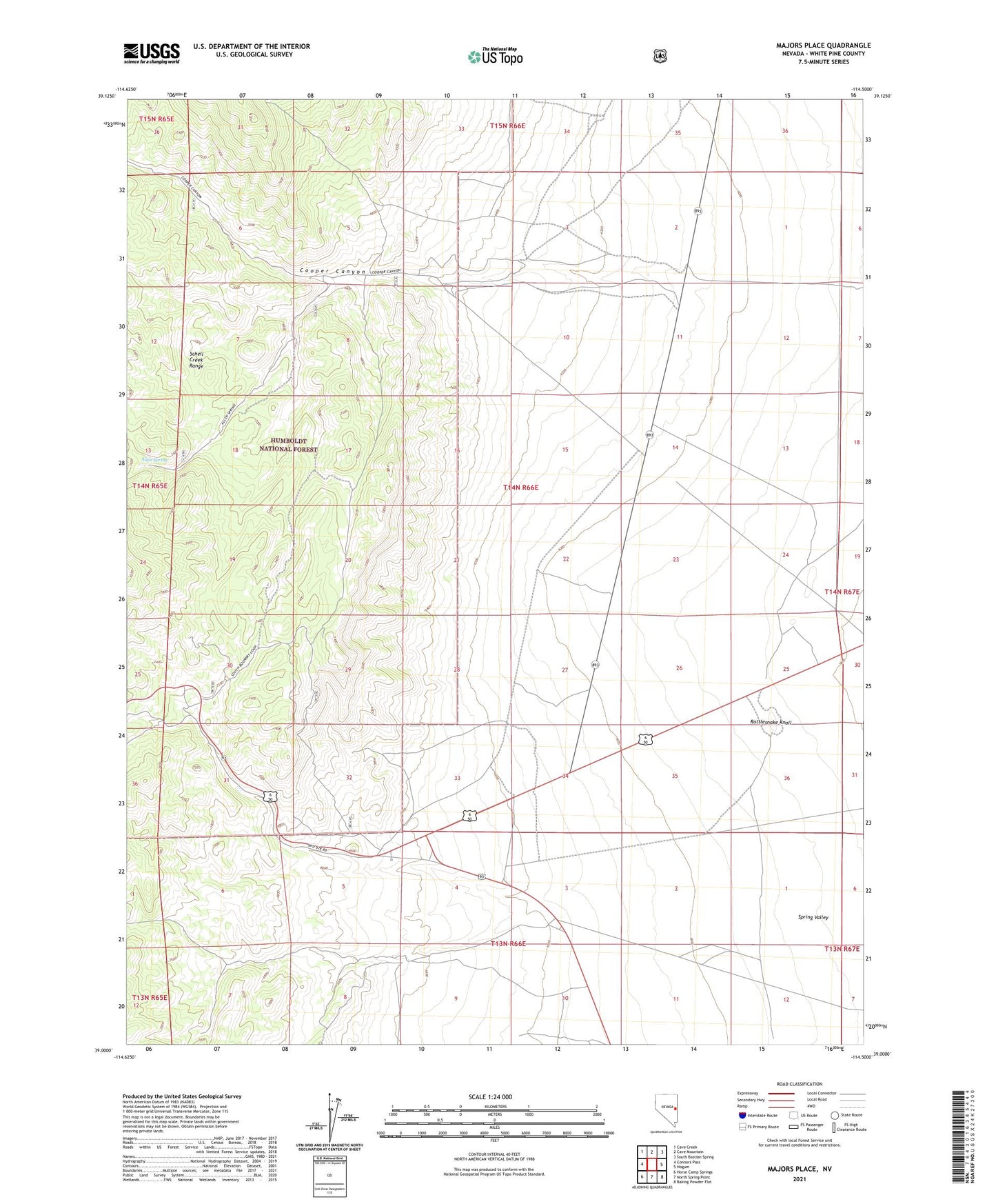
Majors Place Nevada US Topo Map
Couldn't load pickup availability
Also explore the Majors Place Forest Service Topo of this same quad for updated USFS data
2021 topographic map quadrangle Majors Place in the state of Nevada. Scale: 1:24000. Based on the newly updated USGS 7.5' US Topo map series, this map is in the following counties: White Pine. The map contains contour data, water features, and other items you are used to seeing on USGS maps, but also has updated roads and other features. This is the next generation of topographic maps. Printed on high-quality waterproof paper with UV fade-resistant inks.
Quads adjacent to this one:
West: Connors Pass
Northwest: Cave Creek
North: Cave Mountain
Northeast: South Bastian Spring
East: Hogum
Southeast: Baking Powder Flat
South: North Spring Point
Southwest: Horse Camp Springs
This map covers the same area as the classic USGS quad with code o39114a5.
Contains the following named places: Allen Spring, Capitol Hills Mine, Cooper, Cooper Canyon, Cooper Mining District, Fera Well Fiftytwo, Majors Place, Rattlesnake Knoll, Snyder Well Number One