MyTopo
Combs Peak Nevada US Topo Map
Couldn't load pickup availability
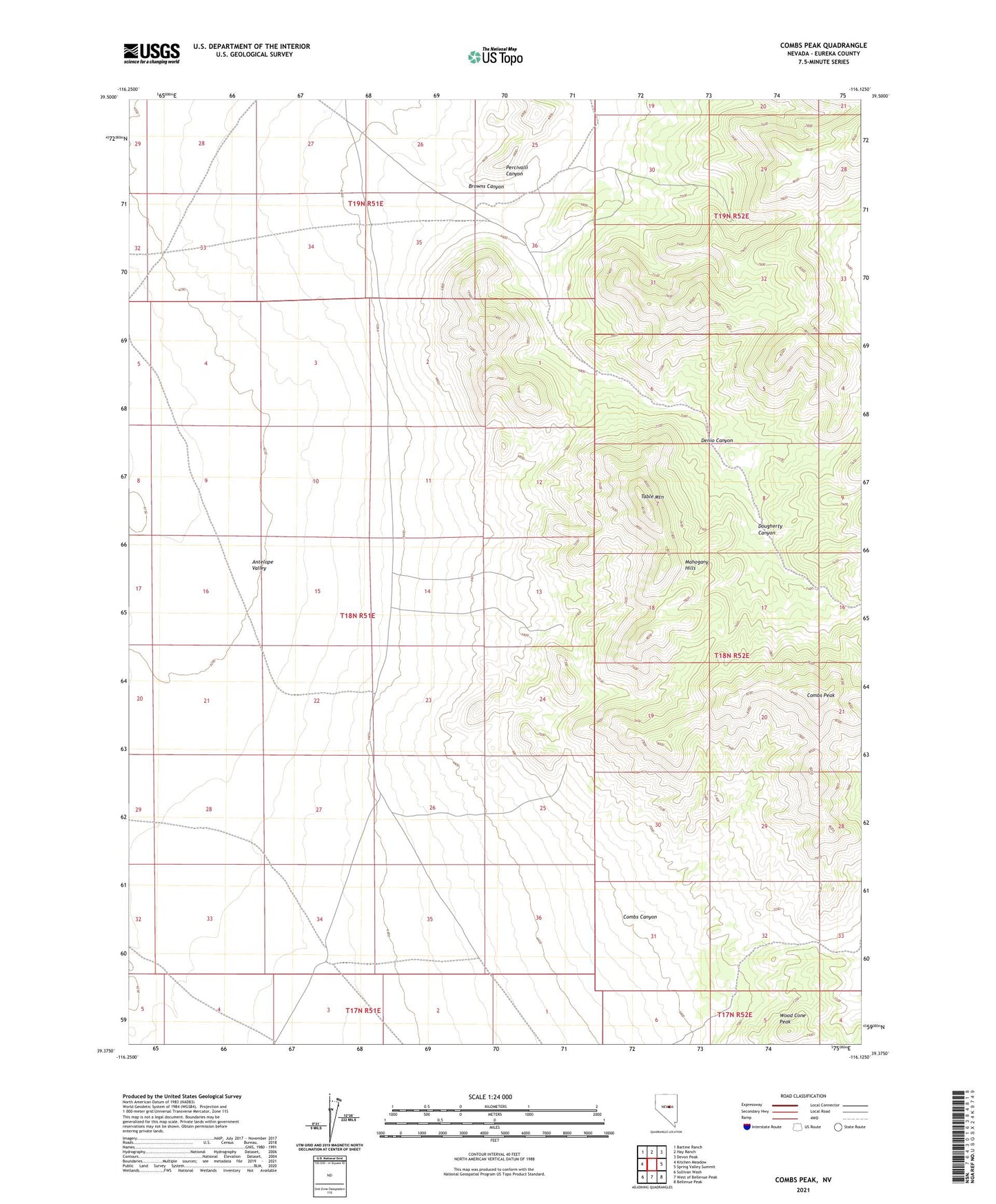
2021 topographic map quadrangle Combs Peak in the state of Nevada. Scale: 1:24000. Based on the newly updated USGS 7.5' US Topo map series, this map is in the following counties: Eureka. The map contains contour data, water features, and other items you are used to seeing on USGS maps, but also has updated roads and other features. This is the next generation of topographic maps. Printed on high-quality waterproof paper with UV fade-resistant inks.
Quads adjacent to this one:
West: Kitchen Meadow
Northwest: Bartine Ranch
North: Hay Ranch
Northeast: Devon Peak
East: Spring Valley Summit
Southeast: Bellevue Peak
South: West of Bellevue Peak
Southwest: Sullivan Wash
This map covers the same area as the classic USGS quad with code o39116d2.
Contains the following named places: Angelo Belli Mine, Ardans Well, Browns Canyon, Combs Canyon, Combs Peak, Denio Canyon, Dougherty Canyon, Mahogany Hills, Percivalli Canyon, Silver King Mine, Table Mountain, Thompson Mine, Wood Cone Peak