MyTopo
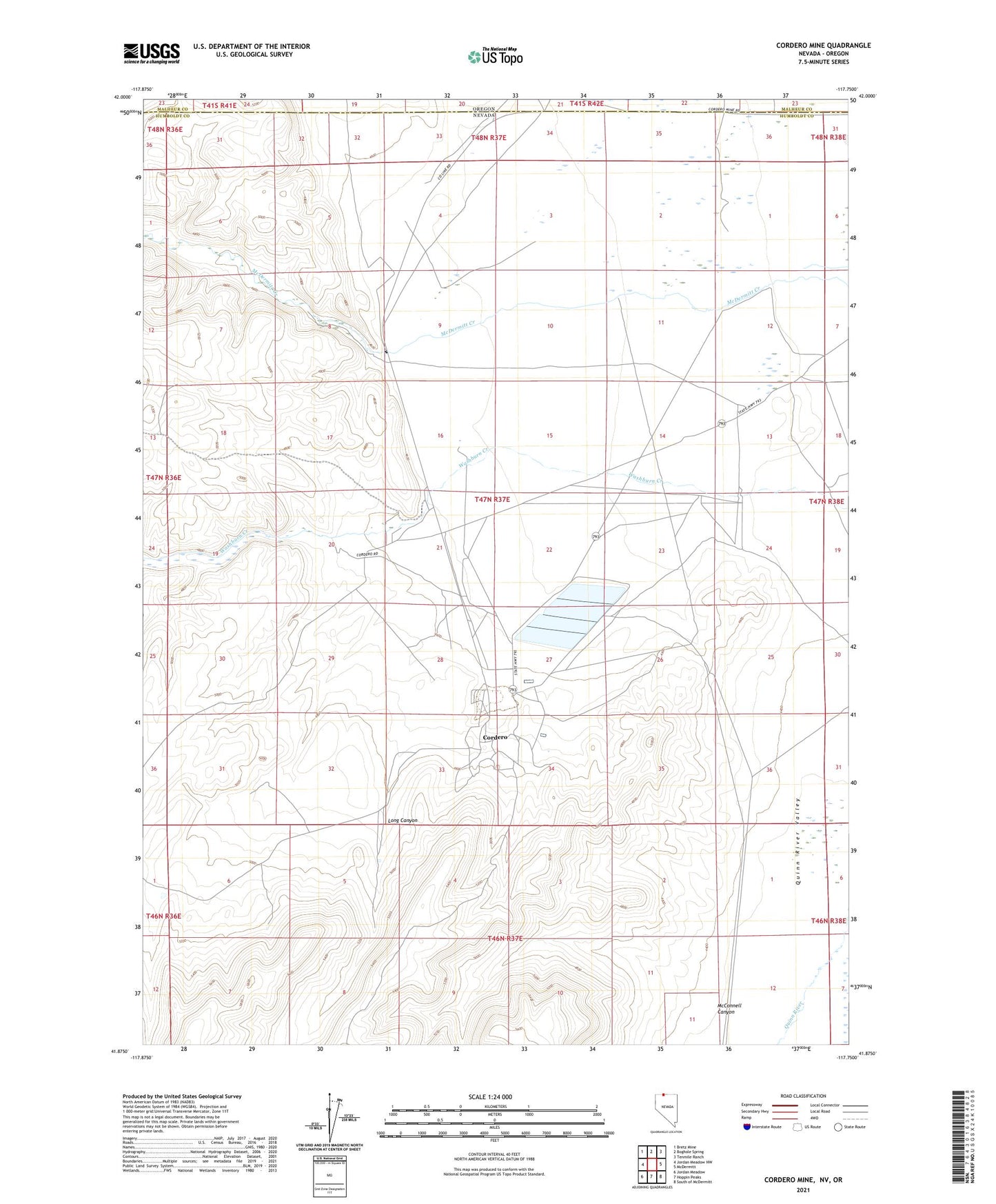
Cordero Mine Nevada US Topo Map
Couldn't load pickup availability
2021 topographic map quadrangle Cordero Mine in the state of Nevada. Scale: 1:24000. Based on the newly updated USGS 7.5' US Topo map series, this map is in the following counties: Humboldt, Malheur. The map contains contour data, water features, and other items you are used to seeing on USGS maps, but also has updated roads and other features. This is the next generation of topographic maps. Printed on high-quality waterproof paper with UV fade-resistant inks.
Quads adjacent to this one:
West: Jordan Meadow NW
Northwest: Bretz Mine
North: Boghole Spring
Northeast: Tenmile Ranch
East: McDermitt
Southeast: South of McDermitt
South: Hoppin Peaks
Southwest: Jordan Meadow
Contains the following named places: Cordero, Cordero Mine, Cordero School, Long Canyon, Lucky Seven Ranch, McConnell Canyon, McDermitt Mine, Opalite Mining District, Washburn Ranch