MyTopo
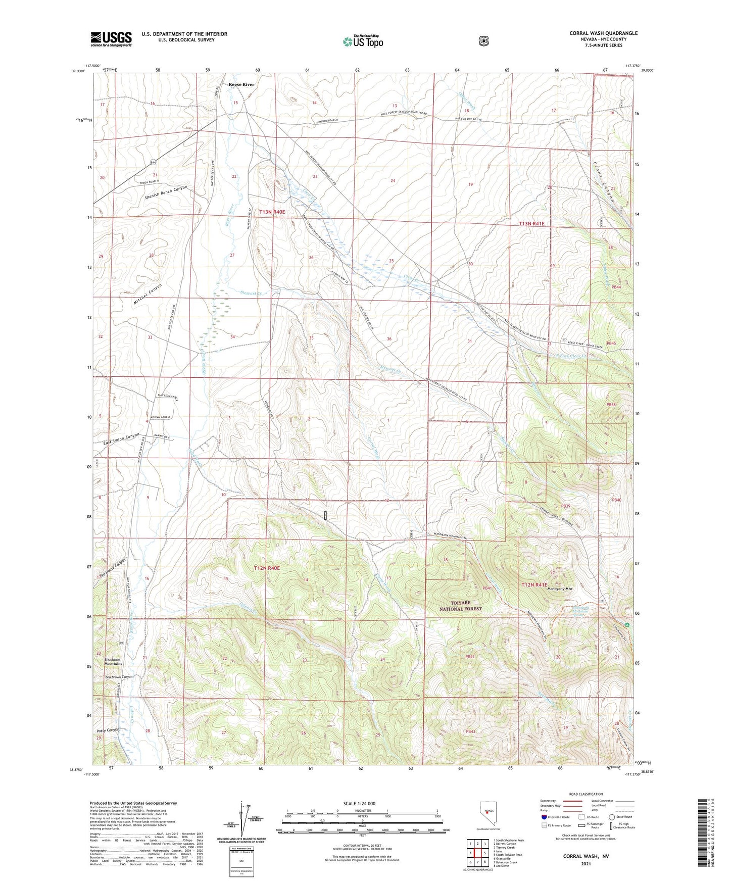
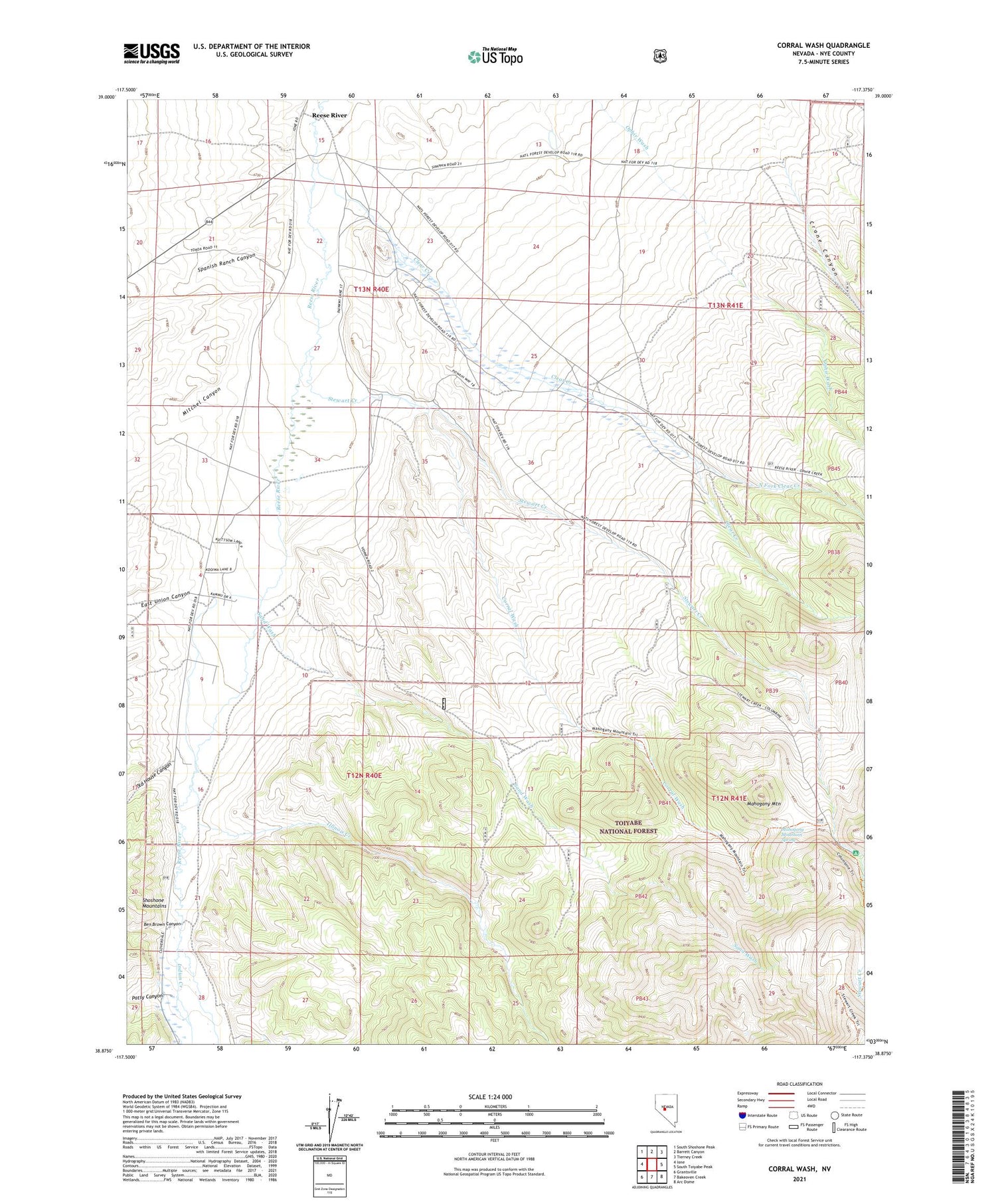
Corral Wash Nevada US Topo Map
Couldn't load pickup availability
2021 topographic map quadrangle Corral Wash in the state of Nevada. Scale: 1:24000. Based on the newly updated USGS 7.5' US Topo map series, this map is in the following counties: Nye. The map contains contour data, water features, and other items you are used to seeing on USGS maps, but also has updated roads and other features. This is the next generation of topographic maps. Printed on high-quality waterproof paper with UV fade-resistant inks.
Quads adjacent to this one:
West: Ione
Northwest: South Shoshone Peak
North: Barrett Canyon
Northeast: Tierney Creek
East: South Toiyabe Peak
Southeast: Arc Dome
South: Bakeoven Creek
Southwest: Grantsville
Contains the following named places: Bells Ranch, Ben Brown Canyon, Clear Creek, Columbine Campground, Corral Wash, Crane Canyon, Derringers Blacksmith Shop, Dierringer Ranch, East Union Canyon, Goodings Ranch, Illinois Creek, Keough Ranch, Mahogany Mountain, Mahogany Mountain Spring, Mitchel Canyon, North Fork Clear Creek, Old House Canyon, Ophir Wash, Patsy Canyon, Reese River, Reese River Ranger Station, Sand Wash, Spanish Ranch Canyon, Stewart Creek, Stewart Creek Trailhead, Toyah, Welchs Ranch, Yomba Reservation, Yomba School