MyTopo
Ione Nevada US Topo Map
Couldn't load pickup availability
Also explore the Ione Forest Service Topo of this same quad for updated USFS data
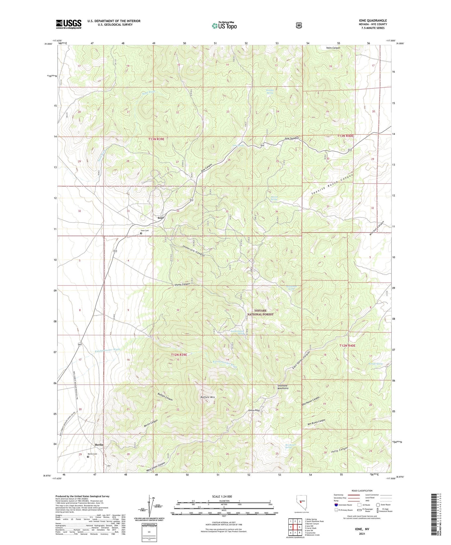
2021 topographic map quadrangle Ione in the state of Nevada. Scale: 1:24000. Based on the newly updated USGS 7.5' US Topo map series, this map is in the following counties: Nye. The map contains contour data, water features, and other items you are used to seeing on USGS maps, but also has updated roads and other features. This is the next generation of topographic maps. Printed on high-quality waterproof paper with UV fade-resistant inks.
Quads adjacent to this one:
West: Ione NW
Northwest: Midas Spring
North: South Shoshone Peak
Northeast: Barrett Canyon
East: Corral Wash
Southeast: Bakeoven Creek
South: Grantsville
Southwest: Ione SW
This map covers the same area as the classic USGS quad with code o38117h5.
Contains the following named places: Bald Mountain Bill Mine, Ben Brown Spring, Berlin, Berlin Canyon, Berlin Cemetery, Berlin Mine, Berlin Post Office, Blue Bird Mine, Bowler Mine, Bradley Spring, Buffalo Canyon, Buffalo Mountain, Cathrine Mine, Copper King Mine, Corlett Mine, Glen Hamilton, Glen Hamilton Post Office, Good Luck Mine, Ione, Ione Canyon, Ione Cemetery, Ione Mine, Ione Post Office, Ione Spring, Ione Summit, Keough Spring, Knickerbocker, Knickerbocker Mill, Knickerbocker Spring, Lahontan Mine, Mercury Mining Company Mine, Mudhole Spring, Nevada Mine, Phillips Mine, Pioneer Mill, Richmond Mine, Shamrock, Shamrock Canyon, Shamrock Diggings, Shamrock Mine, Sheep Canyon, Shoshone Mountains, Spanish Spring, Union Mine, Union Mining District, Union Pass, Vales Canyon, Woodcamp Spring, Yellow Cat Mine, Yellowjacket Mine