MyTopo
Cox Canyon Nevada US Topo Map
Couldn't load pickup availability
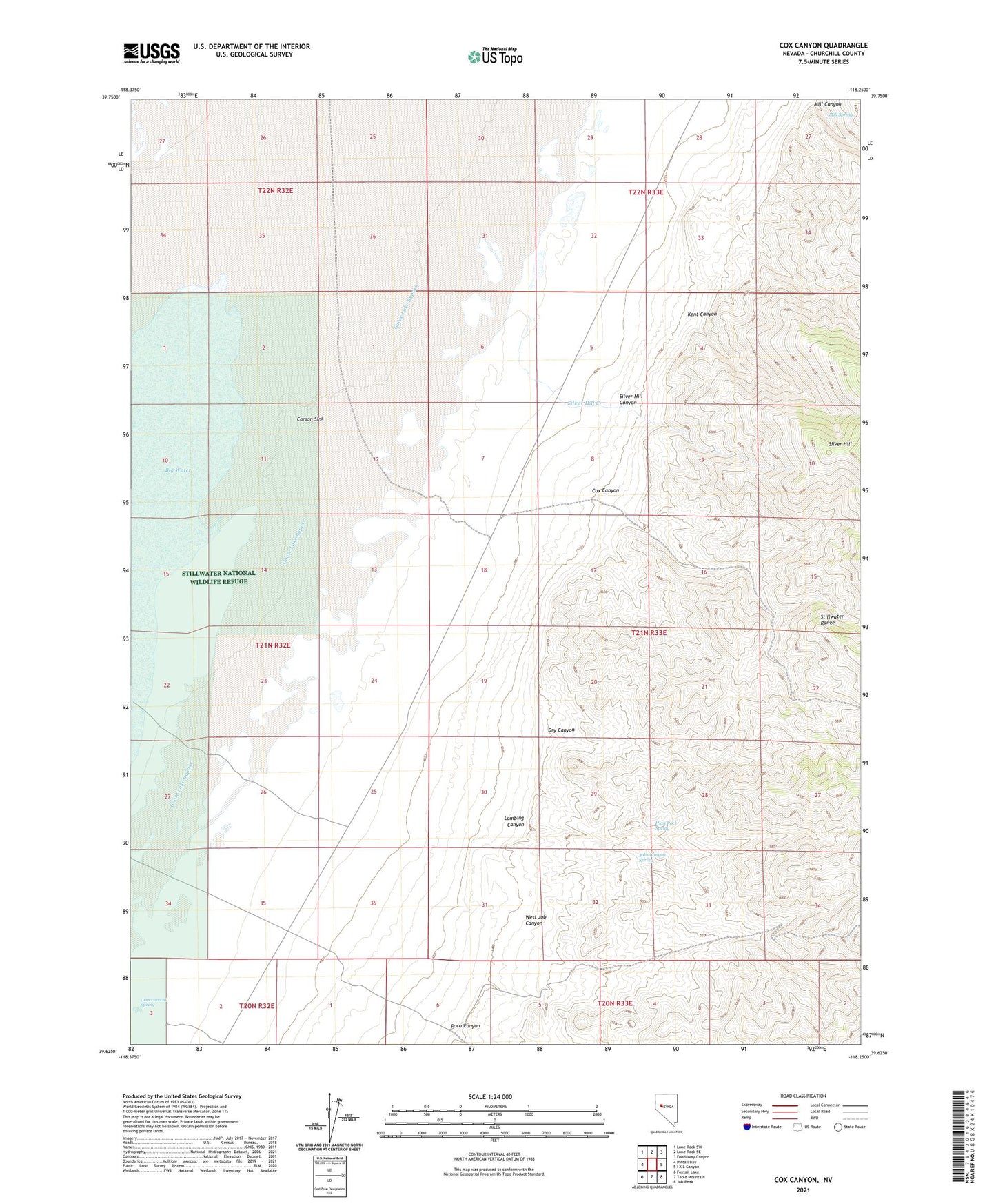
2021 topographic map quadrangle Cox Canyon in the state of Nevada. Scale: 1:24000. Based on the newly updated USGS 7.5' US Topo map series, this map is in the following counties: Churchill. The map contains contour data, water features, and other items you are used to seeing on USGS maps, but also has updated roads and other features. This is the next generation of topographic maps. Printed on high-quality waterproof paper with UV fade-resistant inks.
Quads adjacent to this one:
West: Pintail Bay
Northwest: Lone Rock SW
North: Lone Rock SE
Northeast: Fondaway Canyon
East: I X L Canyon
Southeast: Job Peak
South: Table Mountain
Southwest: Foxtail Lake
This map covers the same area as the classic USGS quad with code o39118f3.
Contains the following named places: Cox Canyon, Desert Well, Dry Canyon, Government Spring, High Rock Spring, Jobs Canyon Spring, Kent Canyon, Lambing Canyon, Mill Spring, Poco Canyon, Poco Well, Salina Mining District, Salinas, Salinas Post Office, Silver Hill Canyon, Silver Hill Creek, Silver Station, West Job Canyon