MyTopo
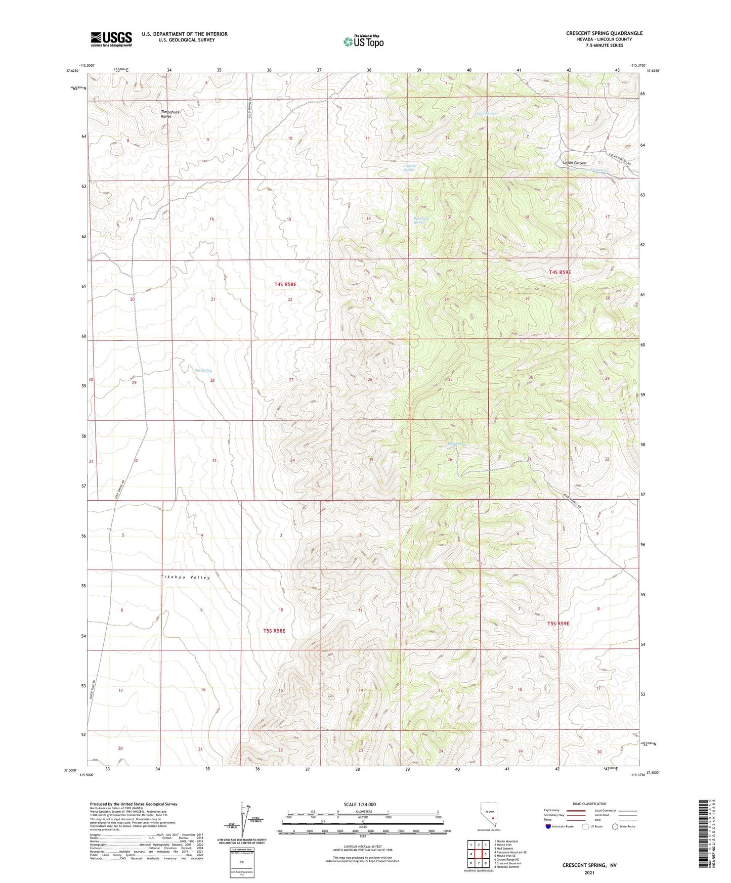
Crescent Spring Nevada US Topo Map
Couldn't load pickup availability
2021 topographic map quadrangle Crescent Spring in the state of Nevada. Scale: 1:24000. Based on the newly updated USGS 7.5' US Topo map series, this map is in the following counties: Lincoln. The map contains contour data, water features, and other items you are used to seeing on USGS maps, but also has updated roads and other features. This is the next generation of topographic maps. Printed on high-quality waterproof paper with UV fade-resistant inks.
Quads adjacent to this one:
West: Tempiute Mountain SE
Northwest: Monte Mountain
North: Mount Irish
Northeast: Mail Summit
East: Mount Irish SE
Southeast: Hancock Summit
South: Crescent Reservoir
Southwest: Groom Range NE
This map covers the same area as the classic USGS quad with code o37115e4.
Contains the following named places: Crescent, Crescent Mill, Crescent Mine, Crescent Spring, Logan, Logan Spring, Logan Springs Post Office, Mount Irish Wilderness, Reed Spring, Rye Grass Spring, Tule Spring