MyTopo
Monte Mountain Nevada US Topo Map
Couldn't load pickup availability
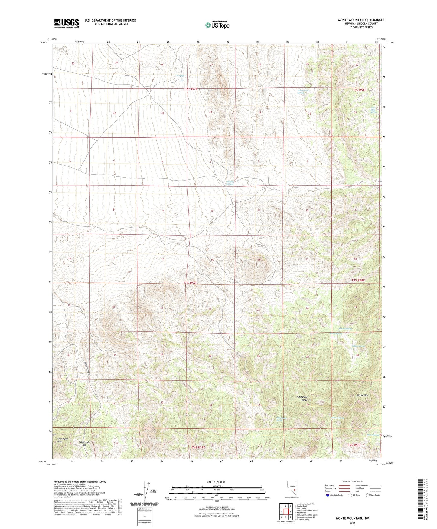
2021 topographic map quadrangle Monte Mountain in the state of Nevada. Scale: 1:24000. Based on the newly updated USGS 7.5' US Topo map series, this map is in the following counties: Lincoln. The map contains contour data, water features, and other items you are used to seeing on USGS maps, but also has updated roads and other features. This is the next generation of topographic maps. Printed on high-quality waterproof paper with UV fade-resistant inks.
Quads adjacent to this one:
West: Tempiute Mountain North
Northwest: Worthington Peak SW
North: Meeker Peak
Northeast: Murphy Gap
East: Mount Irish
Southeast: Crescent Spring
South: Tempiute Mountain SE
Southwest: Tempiute Mountain South
This map covers the same area as the classic USGS quad with code o37115f5.
Contains the following named places: Chocolate Drop, Coyote Spring, Horse Spring, Monte Mountain, Monte Spring, Penoyer Springs, Schofield Pass, The Seeps, Timpahute Range, Tunnel Spring, Wheat Grass Spring, White Bluff Spring, Wild Horse Spring