
MyTopo
Dead Horse Canyon Nevada US Topo Map
Couldn't load pickup availability
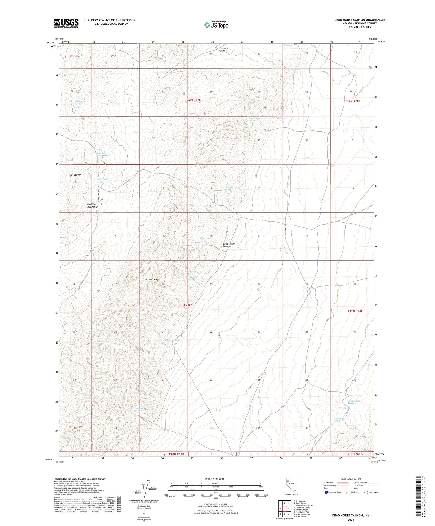
2021 topographic map quadrangle Dead Horse Canyon in the state of Nevada. Scale: 1:24000. Based on the newly updated USGS 7.5' US Topo map series, this map is in the following counties: Pershing. The map contains contour data, water features, and other items you are used to seeing on USGS maps, but also has updated roads and other features. This is the next generation of topographic maps. Printed on high-quality waterproof paper with UV fade-resistant inks.
Quads adjacent to this one:
West: Eagle Rock Spring
Northwest: Dry Mountain
North: Sheep Spring
Northeast: Dead Horse Canyon NE
East: Juniper Canyon
Southeast: Seven Troughs
South: Seven Troughs NW
Southwest: Twin Buttes Well
Contains the following named places: Dead Horse Canyon, Dead Horse Spring, Elephant Head Rock, Elephant Head Spring, Five Troughs Springs, Hanna Spring, Hannan Range, Hilltop Mine, Last Chance Spring, Nera Spring, Rattlesnake Spring, Rockhill Canyon, Scorpion Spring, Sheep Head Spring, Staggs Mining District, Tarantula Spring, Turtle Rock Spring, White Horse Spring, Willow Creek, Windy Hill Mine


