MyTopo
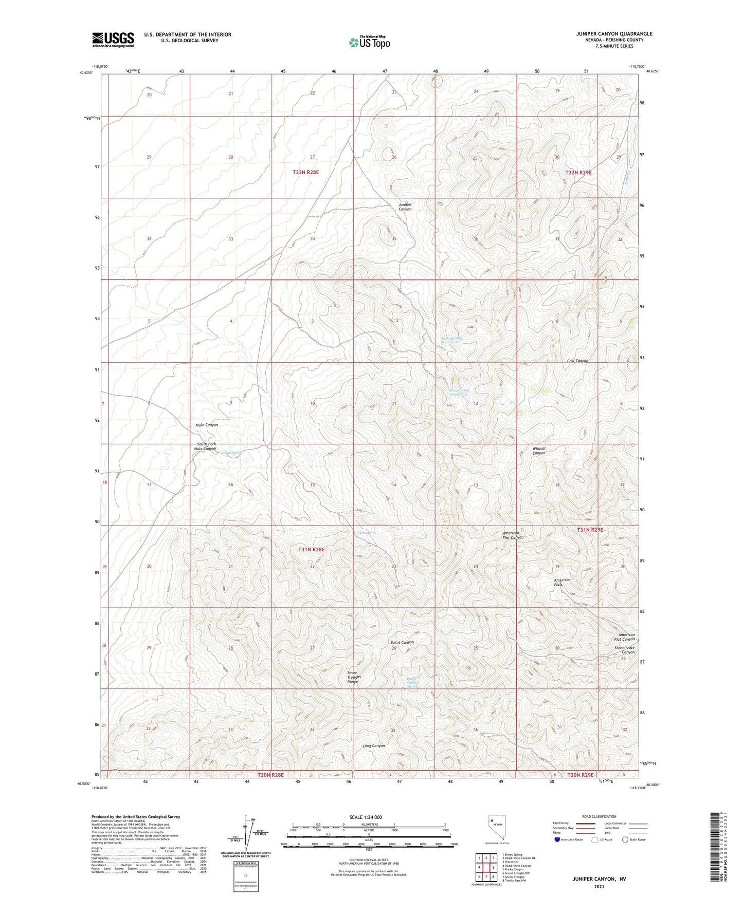
Juniper Canyon Nevada US Topo Map
Couldn't load pickup availability
2021 topographic map quadrangle Juniper Canyon in the state of Nevada. Scale: 1:24000. Based on the newly updated USGS 7.5' US Topo map series, this map is in the following counties: Pershing. The map contains contour data, water features, and other items you are used to seeing on USGS maps, but also has updated roads and other features. This is the next generation of topographic maps. Printed on high-quality waterproof paper with UV fade-resistant inks.
Quads adjacent to this one:
West: Dead Horse Canyon
Northwest: Sheep Spring
North: Dead Horse Canyon NE
Northeast: Placerites
East: Rocky Canyon
Southeast: Trinity Pass NW
South: Seven Troughs
Southwest: Seven Troughs NW
This map covers the same area as the classic USGS quad with code o40118e7.
Contains the following named places: Alson Spring, American Flat Canyon, American Flats, Burnt Canyon Spring, Farrell Mining District, Juniper Canyon, Miners Cow Creek Ranch, Mule Canyon, Nera Spring, Nera Spring Number 33, Nera Spring Number 56, Sage Hen Mine, South Fork Mule Canyon