MyTopo
Dun Glen Nevada US Topo Map
Couldn't load pickup availability
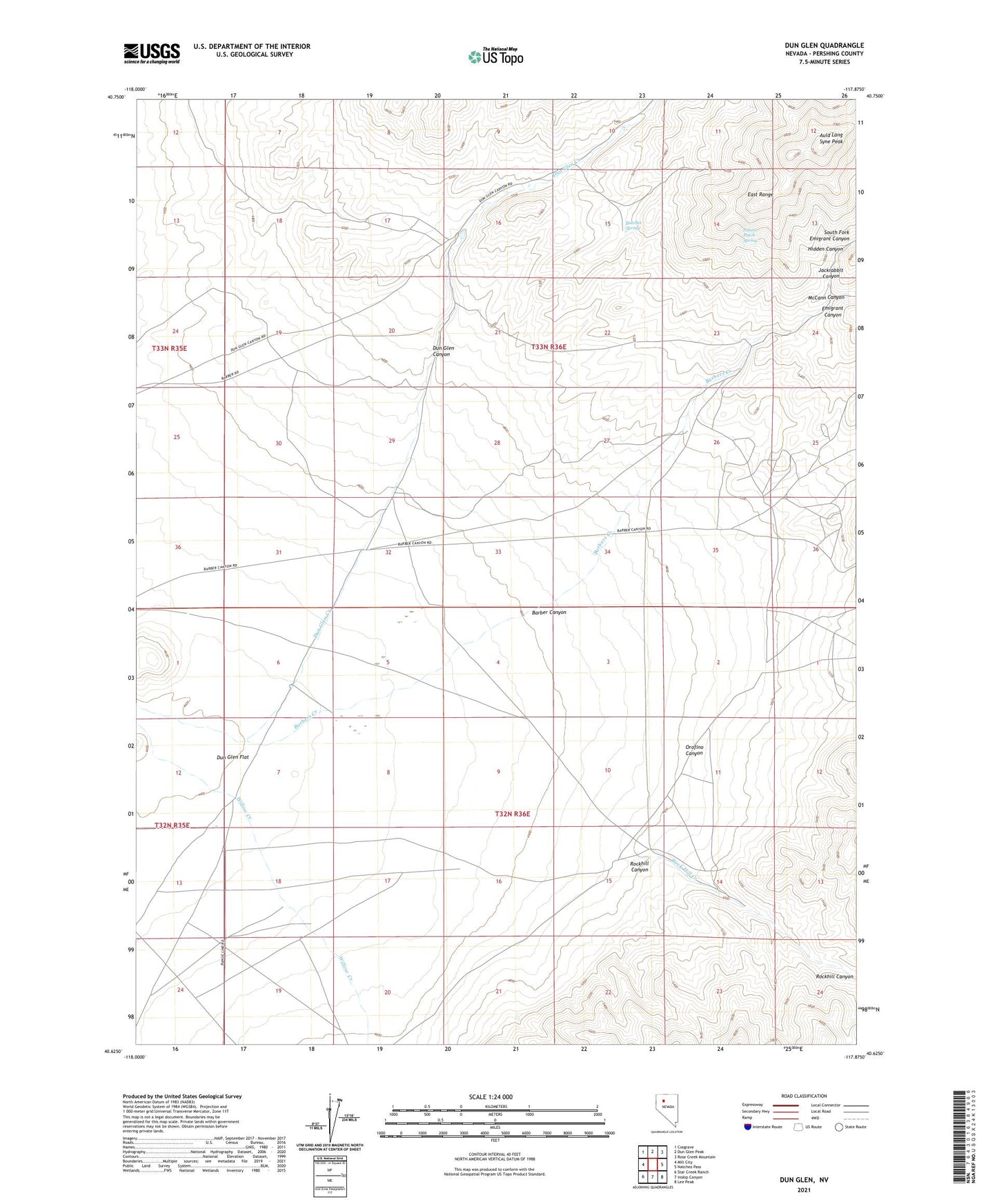
2021 topographic map quadrangle Dun Glen in the state of Nevada. Scale: 1:24000. Based on the newly updated USGS 7.5' US Topo map series, this map is in the following counties: Pershing. The map contains contour data, water features, and other items you are used to seeing on USGS maps, but also has updated roads and other features. This is the next generation of topographic maps. Printed on high-quality waterproof paper with UV fade-resistant inks.
Quads adjacent to this one:
West: Mill City
Northwest: Cosgrave
North: Dun Glen Peak
Northeast: Rose Creek Mountain
East: Natchez Pass
Southeast: Lee Peak
South: Inskip Canyon
Southwest: Star Creek Ranch
This map covers the same area as the classic USGS quad with code o40117f8.
Contains the following named places: Auld Lang Syne Peak, Barber Canyon, Barber Canyon Mine, Barbers Creek, Black Hole Mine, Butcher Spring, Dun Glen, Dun Glen Canyon, Dun Glen Mine, Dun Glen Post Office, Emigrant Canyon, Essex Quartz Mill, Hidden Canyon, Jackrabbit Canyon, Jacobs Well, McCann Canyon, Monroe Mine, Orofino Canyon, Potato Patch Spring, Rock Hill Creek, Rockhill, Rockhill Canyon, Rockhill Canyon Mines, South Fork Emigrant Canyon, Tallulah Mine, Tiptop Post Office, Twin Dome Mine, White Bear Mine, Willow Creek, Yosemite Mine