MyTopo
Dun Glen Peak Nevada US Topo Map
Couldn't load pickup availability
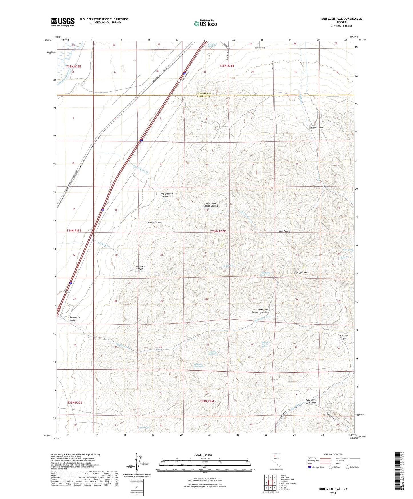
2021 topographic map quadrangle Dun Glen Peak in the state of Nevada. Scale: 1:24000. Based on the newly updated USGS 7.5' US Topo map series, this map is in the following counties: Pershing, Humboldt. The map contains contour data, water features, and other items you are used to seeing on USGS maps, but also has updated roads and other features. This is the next generation of topographic maps. Printed on high-quality waterproof paper with UV fade-resistant inks.
Quads adjacent to this one:
West: Cosgrave
Northwest: Pronto
North: Rose Creek
Northeast: Winnemucca West
East: Rose Creek Mountain
Southeast: Natchez Pass
South: Dun Glen
Southwest: Mill City
This map covers the same area as the classic USGS quad with code o40117g8.
Contains the following named places: Amos Spring, Auld Lang Syne Gulch, Auld Lang Syne Mine, Big Alkali Spring, Cedar Canyon, Cedar Creek, Cosgrave Canyon, Dun Glen Peak, Hendra Mill, Hendra Mines, Lamar, Little White Horse Canyon, Neptune Tunnel, North Fork Raspberry Canon, Osburns Canon, Rasberry Spring Four, Rasberry Spring One, Rasberry Spring Three, Rasberry Spring Two, Raspberry Canon, Rose Creek Mining District, White Horse Canyon, White Horse Creek