MyTopo
Ferris Creek Nevada US Topo Map
Couldn't load pickup availability
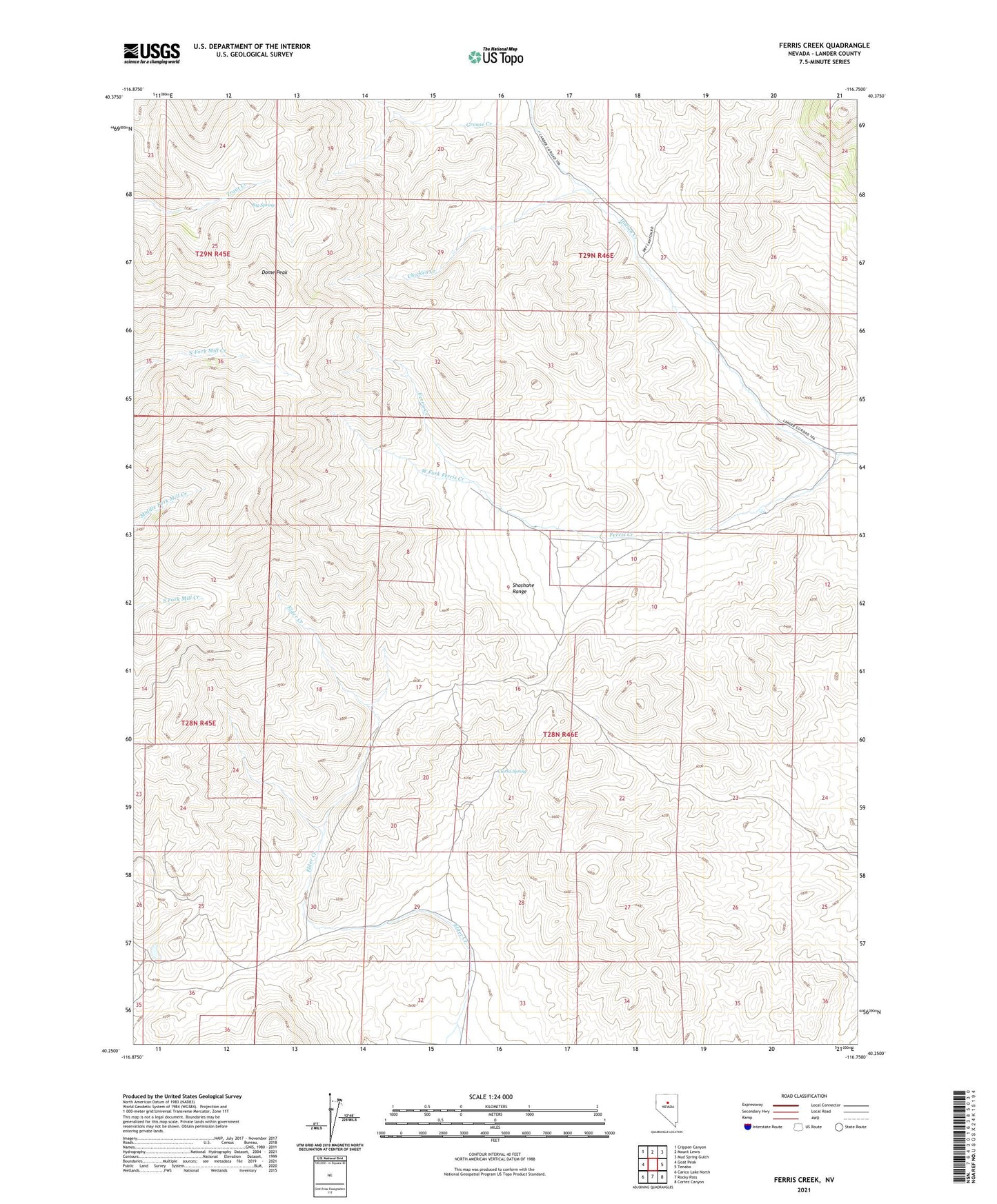
2021 topographic map quadrangle Ferris Creek in the state of Nevada. Scale: 1:24000. Based on the newly updated USGS 7.5' US Topo map series, this map is in the following counties: Lander. The map contains contour data, water features, and other items you are used to seeing on USGS maps, but also has updated roads and other features. This is the next generation of topographic maps. Printed on high-quality waterproof paper with UV fade-resistant inks.
Quads adjacent to this one:
West: Goat Peak
Northwest: Crippen Canyon
North: Mount Lewis
Northeast: Mud Spring Gulch
East: Tenabo
Southeast: Cortez Canyon
South: Rocky Pass
Southwest: Carico Lake North
This map covers the same area as the classic USGS quad with code o40116c7.
Contains the following named places: Big Spring, Blue Fern Mine, Chicken Creek, Clarks Spring, Clipper Mine, Dome Peak, Ferris Creek, Grouse Creek, Trout Creek, Utah Mine, Utah Mine Camp, West Fork Ferris Creek