MyTopo
Frenchie Flat Nevada US Topo Map
Couldn't load pickup availability
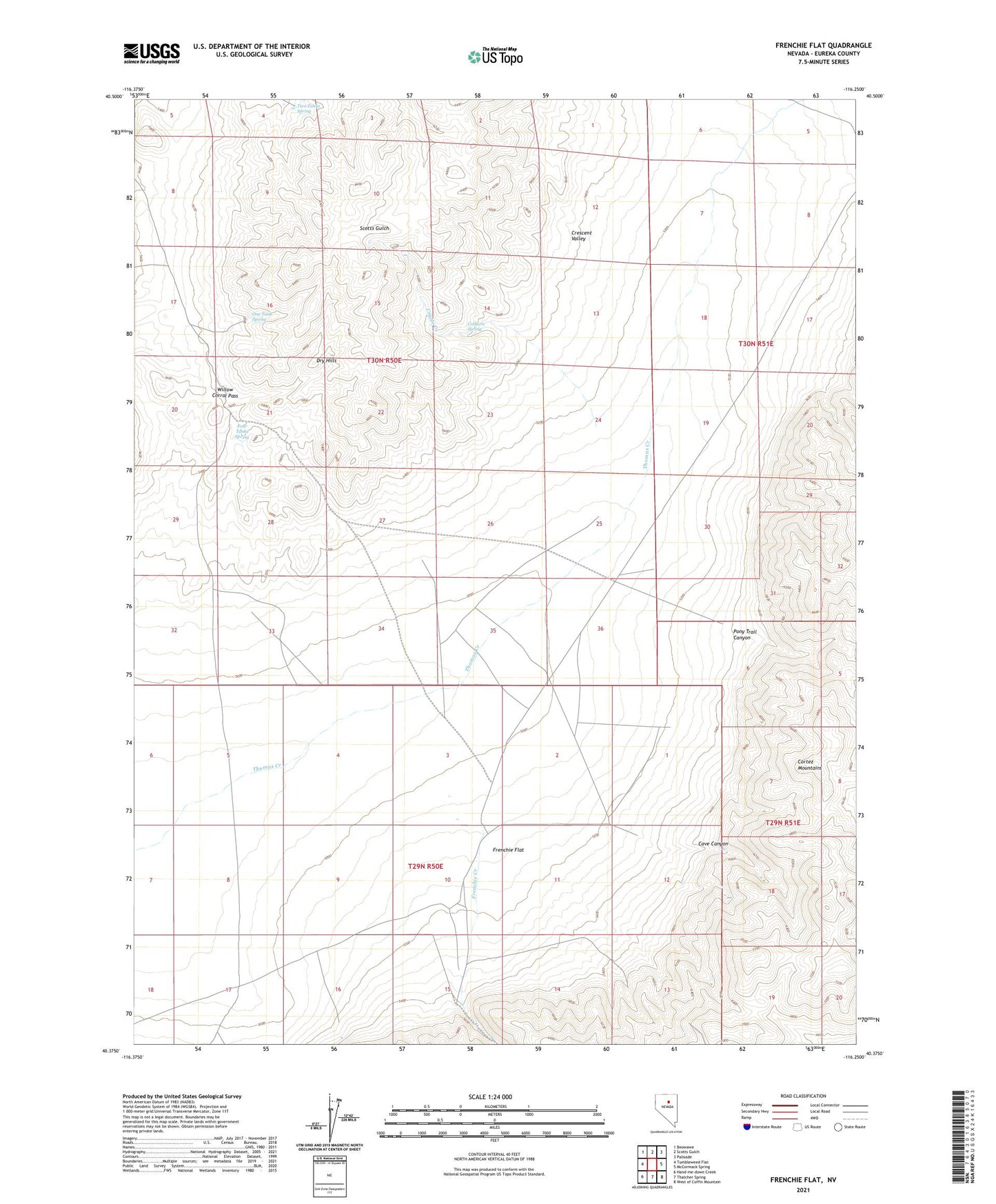
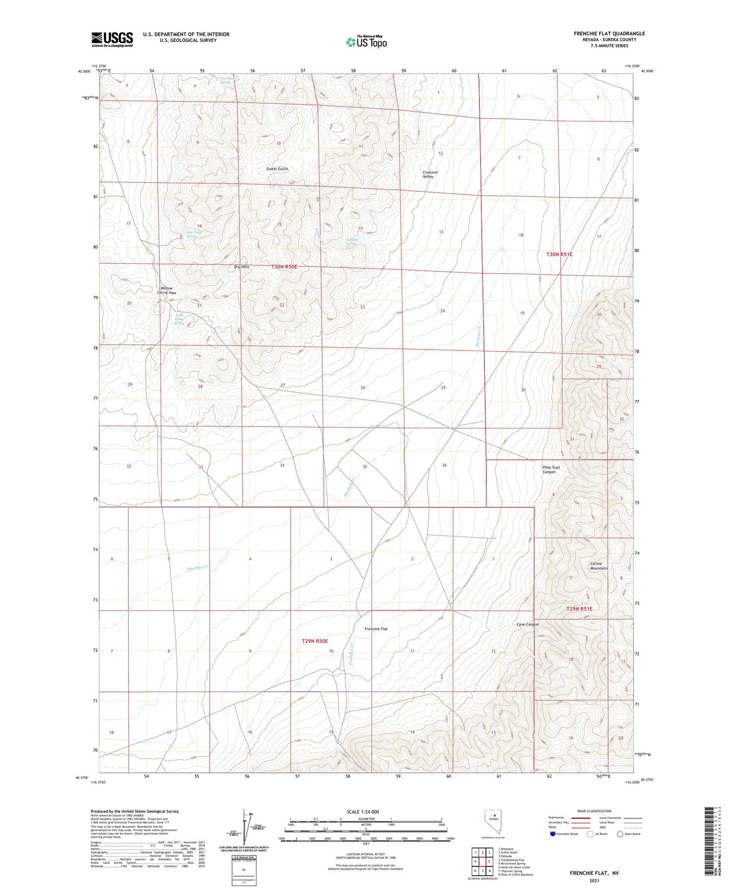
2021 topographic map quadrangle Frenchie Flat in the state of Nevada. Scale: 1:24000. Based on the newly updated USGS 7.5' US Topo map series, this map is in the following counties: Eureka. The map contains contour data, water features, and other items you are used to seeing on USGS maps, but also has updated roads and other features. This is the next generation of topographic maps. Printed on high-quality waterproof paper with UV fade-resistant inks.
Quads adjacent to this one:
West: Tumbleweed Flat
Northwest: Beowawe
North: Scotts Gulch
Northeast: Palisade
East: McCormack Spring
Southeast: West of Coffin Mountain
South: Thatcher Spring
Southwest: Hand-me-down Creek
Contains the following named places: Beowawe Division, Cave Canyon, Colburn Spring, Coyote Creek, Dry Hills, Four Tanks Spring, Frenchie Creek, Frenchie Flat, Frenchie Ranch, One Tank Spring, Pony Trail Canyon, Two Tanks Spring, Willow Corral Pass