MyTopo
McCormack Spring Nevada US Topo Map
Couldn't load pickup availability
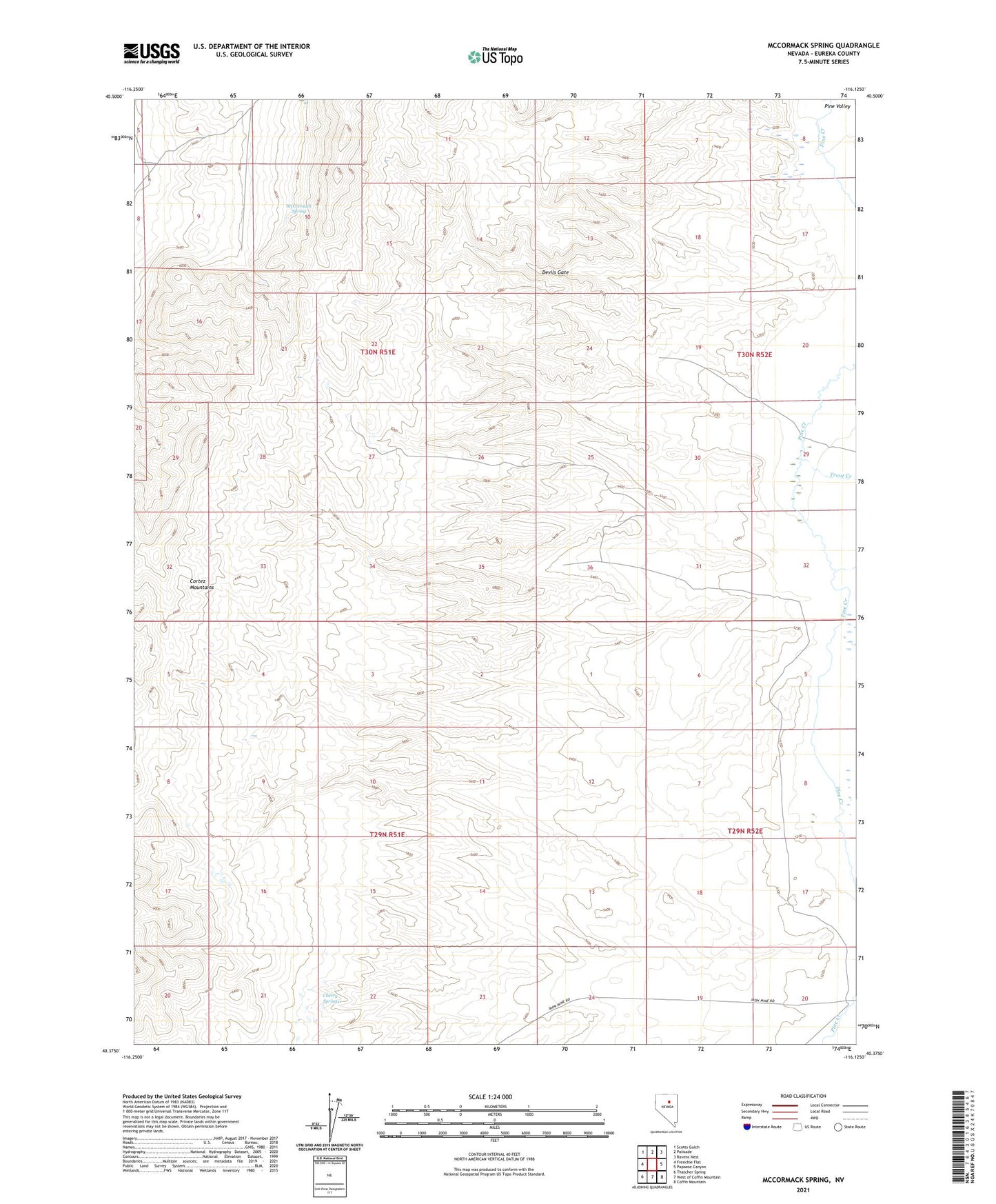
2021 topographic map quadrangle McCormack Spring in the state of Nevada. Scale: 1:24000. Based on the newly updated USGS 7.5' US Topo map series, this map is in the following counties: Eureka. The map contains contour data, water features, and other items you are used to seeing on USGS maps, but also has updated roads and other features. This is the next generation of topographic maps. Printed on high-quality waterproof paper with UV fade-resistant inks.
Quads adjacent to this one:
West: Frenchie Flat
Northwest: Scotts Gulch
North: Palisade
Northeast: Ravens Nest
East: Papoose Canyon
Southeast: Coffin Mountain
South: West of Coffin Mountain
Southwest: Thatcher Spring
This map covers the same area as the classic USGS quad with code o40116d2.
Contains the following named places: Cherry Springs, Devils Gate, McCormack Spring, Rand Ranch, Tomera Ranch, Trout Creek