MyTopo
Hand-me-down Creek Nevada US Topo Map
Couldn't load pickup availability
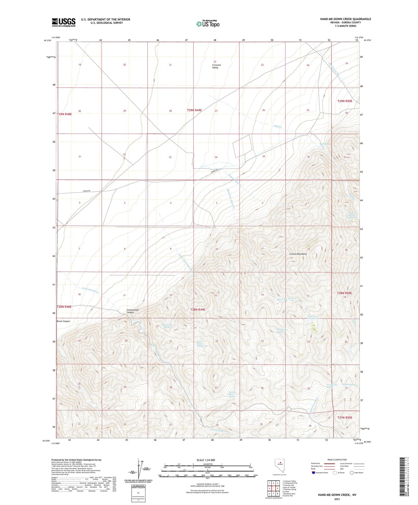
2021 topographic map quadrangle Hand-me-down Creek in the state of Nevada. Scale: 1:24000. Based on the newly updated USGS 7.5' US Topo map series, this map is in the following counties: Eureka. The map contains contour data, water features, and other items you are used to seeing on USGS maps, but also has updated roads and other features. This is the next generation of topographic maps. Printed on high-quality waterproof paper with UV fade-resistant inks.
Quads adjacent to this one:
West: East of Tenabo
Northwest: Crescent Valley
North: Tumbleweed Flat
Northeast: Frenchie Flat
East: Thatcher Spring
Southeast: Curlow Flat
South: Buckhorn Mine
Southwest: Cortez
This map covers the same area as the classic USGS quad with code o40116c4.
Contains the following named places: Cottonwood Canyon, Dewey Dann Creek, Dewey Dann Ranch, Duff Creek, Duff Ranch, Duff Spring, Florio Spring Number Six, Florio Spring Number Ten, Hand-me-down Creek, Hand-me-down Spring, Little Cottonwood Creek, Summit Spring, Twenty Five Spring, Twenty Four Spring, Twenty One Spring, Twenty Seven Spring