MyTopo
Garden Pass Nevada US Topo Map
Couldn't load pickup availability
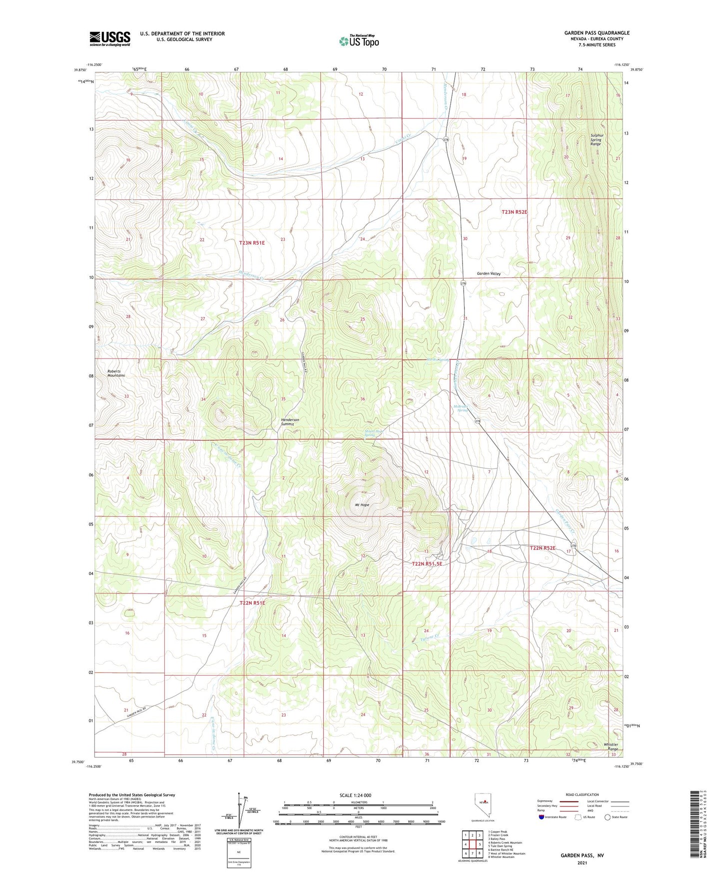
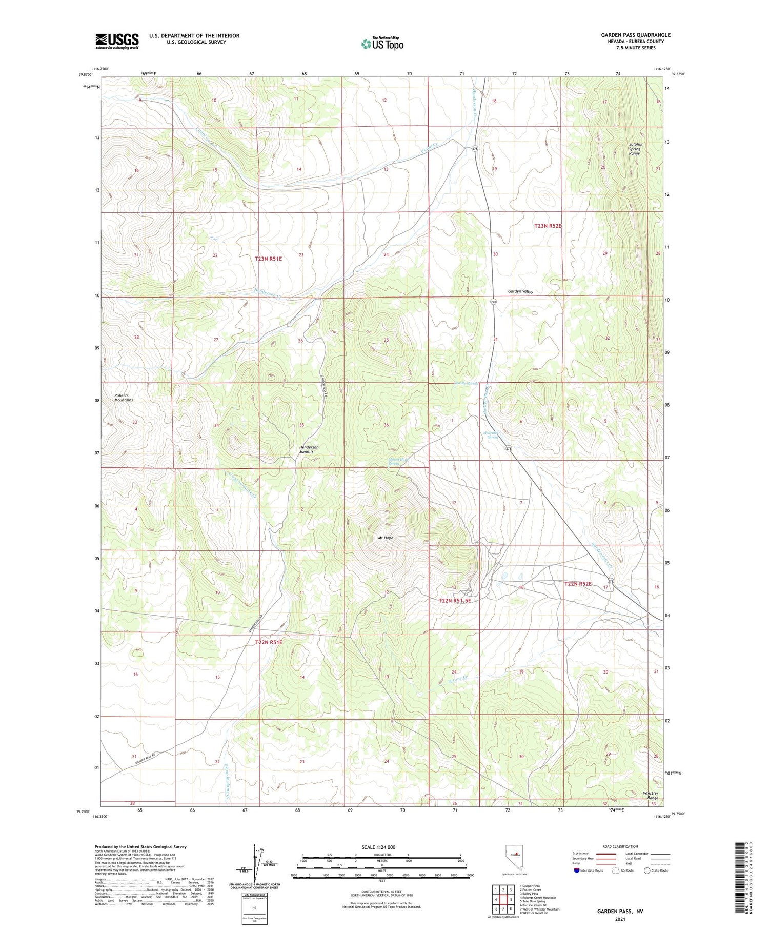
2021 topographic map quadrangle Garden Pass in the state of Nevada. Scale: 1:24000. Based on the newly updated USGS 7.5' US Topo map series, this map is in the following counties: Eureka. The map contains contour data, water features, and other items you are used to seeing on USGS maps, but also has updated roads and other features. This is the next generation of topographic maps. Printed on high-quality waterproof paper with UV fade-resistant inks.
Quads adjacent to this one:
West: Roberts Creek Mountain
Northwest: Cooper Peak
North: Frazier Creek
Northeast: Bailey Pass
East: Tule Dam Spring
Southeast: Whistler Mountain
South: West of Whistler Mountain
Southwest: Bartine Ranch NE
Contains the following named places: Garden Pass, Garden Spring, Henderson Summit, McBrides Spring, Mount Hope, Mount Hope Mine, Mount Hope Mining District, Mount Hope Spring, September Morn Mine, Summit, Tyrone Creek, Vinini Creek