MyTopo
Roberts Creek Mountain Nevada US Topo Map
Couldn't load pickup availability
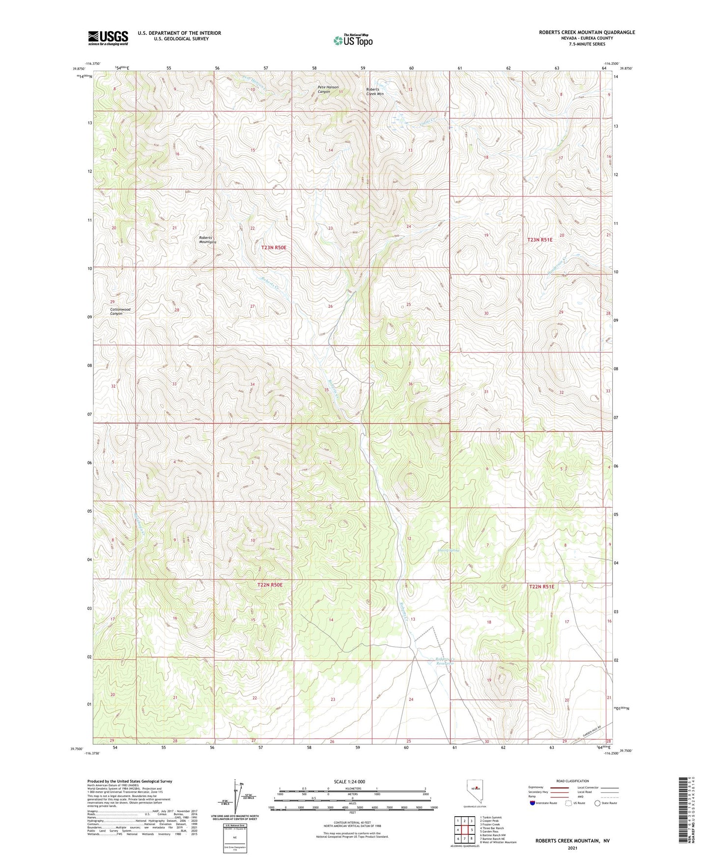
2021 topographic map quadrangle Roberts Creek Mountain in the state of Nevada. Scale: 1:24000. Based on the newly updated USGS 7.5' US Topo map series, this map is in the following counties: Eureka. The map contains contour data, water features, and other items you are used to seeing on USGS maps, but also has updated roads and other features. This is the next generation of topographic maps. Printed on high-quality waterproof paper with UV fade-resistant inks.
Quads adjacent to this one:
West: Three Bar Ranch
Northwest: Tonkin Summit
North: Cooper Peak
Northeast: Frazier Creek
East: Garden Pass
Southeast: West of Whistler Mountain
South: Bartine Ranch NE
Southwest: Bartine Ranch NW
This map covers the same area as the classic USGS quad with code o39116g3.
Contains the following named places: Antelope Mining District, Cherry Spring, Roberts Creek Dam, Roberts Creek Mountain, Roberts Creek Ranch, Roberts Creek Reservoir, Roberts Creek Station, Roberts Mountains, Summer Camp