MyTopo
Green Springs SW Nevada US Topo Map
Couldn't load pickup availability
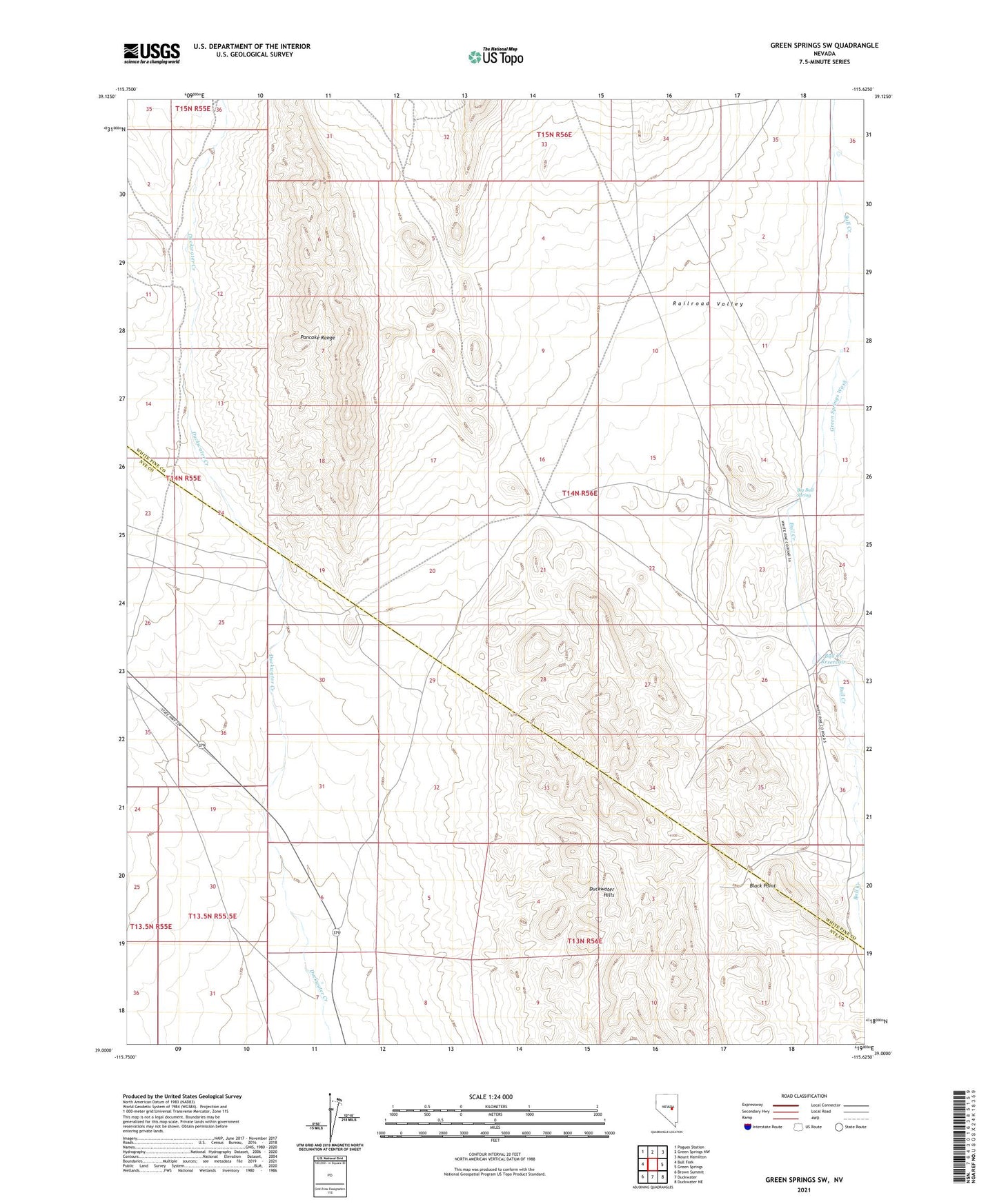
2021 topographic map quadrangle Green Springs SW in the state of Nevada. Scale: 1:24000. Based on the newly updated USGS 7.5' US Topo map series, this map is in the following counties: White Pine, Nye. The map contains contour data, water features, and other items you are used to seeing on USGS maps, but also has updated roads and other features. This is the next generation of topographic maps. Printed on high-quality waterproof paper with UV fade-resistant inks.
Quads adjacent to this one:
West: Bull Fork
Northwest: Pogues Station
North: Green Springs NW
Northeast: Mount Hamilton
East: Green Springs
Southeast: Duckwater NE
South: Duckwater
Southwest: Brown Summit
This map covers the same area as the classic USGS quad with code o39115a6.
Contains the following named places: Big Bull Spring, Black Point, Bull Creek Dam Number Two, Bull Creek Ranch, Bull Creek Reservoir, Green Springs Wash