MyTopo
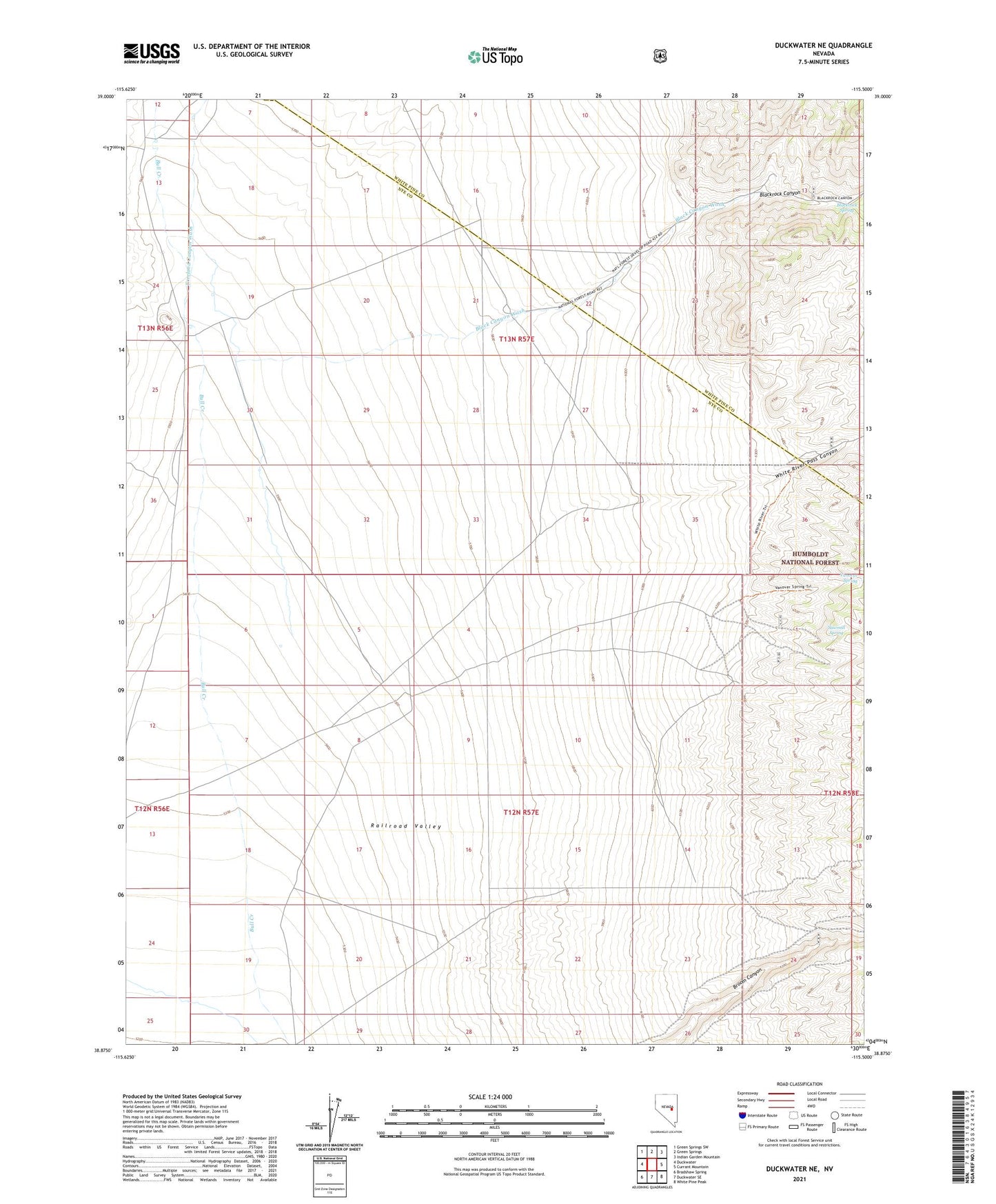
Duckwater NE Nevada US Topo Map
Couldn't load pickup availability
Also explore the Duckwater NE Forest Service Topo of this same quad for updated USFS data
2021 topographic map quadrangle Duckwater NE in the state of Nevada. Scale: 1:24000. Based on the newly updated USGS 7.5' US Topo map series, this map is in the following counties: Nye, White Pine. The map contains contour data, water features, and other items you are used to seeing on USGS maps, but also has updated roads and other features. This is the next generation of topographic maps. Printed on high-quality waterproof paper with UV fade-resistant inks.
Quads adjacent to this one:
West: Duckwater
Northwest: Green Springs SW
North: Green Springs
Northeast: Indian Garden Mountain
East: Currant Mountain
Southeast: White Pine Peak
South: Duckwater SE
Southwest: Bradshaw Spring
This map covers the same area as the classic USGS quad with code o38115h5.
Contains the following named places: Black Canyon Wash, Blackrock Canyon, Blackrock Spring, Bull Creek Well Number Two, Freeland Canyon Wash, Lampson Canyon Wash, Sawmill Spring, Vanover Spring, White River Pass Canyon