MyTopo
Hazen Nevada US Topo Map
Couldn't load pickup availability
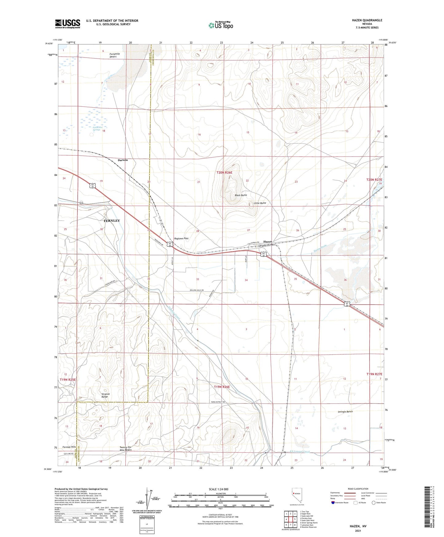
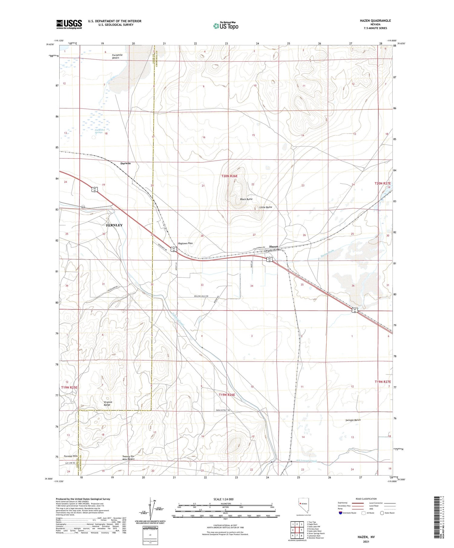
2021 topographic map quadrangle Hazen in the state of Nevada. Scale: 1:24000. Based on the newly updated USGS 7.5' US Topo map series, this map is in the following counties: Churchill, Lyon. The map contains contour data, water features, and other items you are used to seeing on USGS maps, but also has updated roads and other features. This is the next generation of topographic maps. Printed on high-quality waterproof paper with UV fade-resistant inks.
Quads adjacent to this one:
West: Fernley East
Northwest: Two Tips
North: Eagle Rock
Northeast: Soda Lake NW
East: Soda Lake West
Southeast: Sheckler Reservoir
South: Lahontan Dam
Southwest: Silver Springs North
Contains the following named places: Black Butte, Darwin, Diatom, Hazen, Hazen Drain, Hazen Post Office, KX Lateral Canal, Little Butte, Patua Hot Springs, Perkin, Ragtown Pass, Taylor, Twenty-Six-Mile Desert