MyTopo
Soda Lake West Nevada US Topo Map
Couldn't load pickup availability
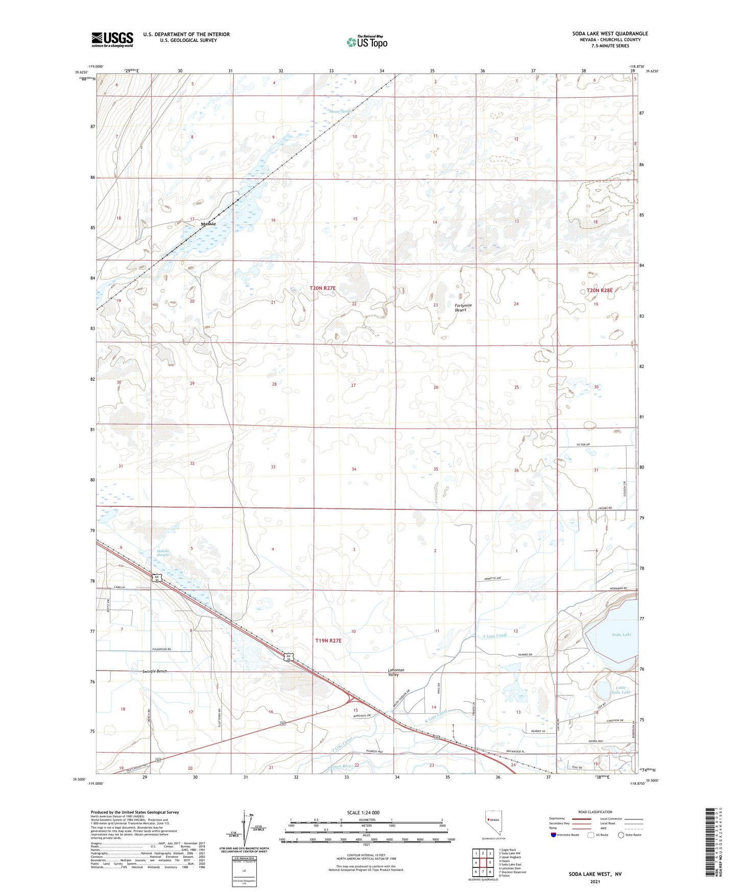
2021 topographic map quadrangle Soda Lake West in the state of Nevada. Scale: 1:24000. Based on the newly updated USGS 7.5' US Topo map series, this map is in the following counties: Churchill. The map contains contour data, water features, and other items you are used to seeing on USGS maps, but also has updated roads and other features. This is the next generation of topographic maps. Printed on high-quality waterproof paper with UV fade-resistant inks.
Quads adjacent to this one:
West: Hazen
Northwest: Eagle Rock
North: Soda Lake NW
Northeast: Upsal Hogback
East: Soda Lake East
Southeast: Fallon
South: Sheckler Reservoir
Southwest: Lahontan Dam
This map covers the same area as the classic USGS quad with code o39118e8.
Contains the following named places: Centerville, Leeteville, Leeteville Post Office, Little Soda Lake, Mahala, Mahala Sloughs, Massie, Massie Slough, Mud Lake, Mustang Pond, Ragtown, Ragtown Post Office, Soda Lake, Soda Lake Mining District, Swingle Bench