MyTopo
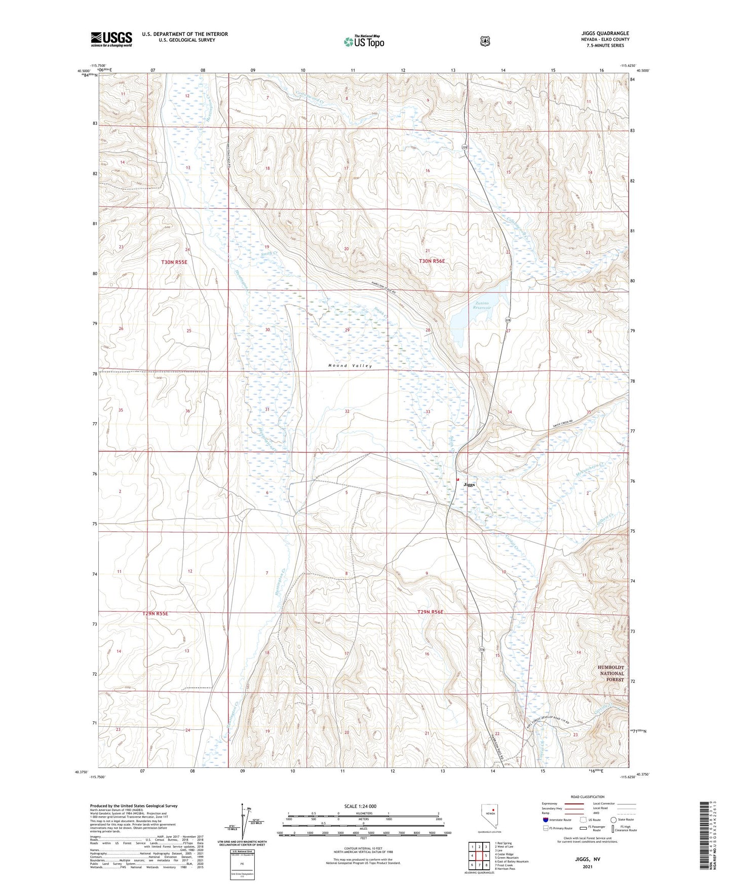
Jiggs Nevada US Topo Map
Couldn't load pickup availability
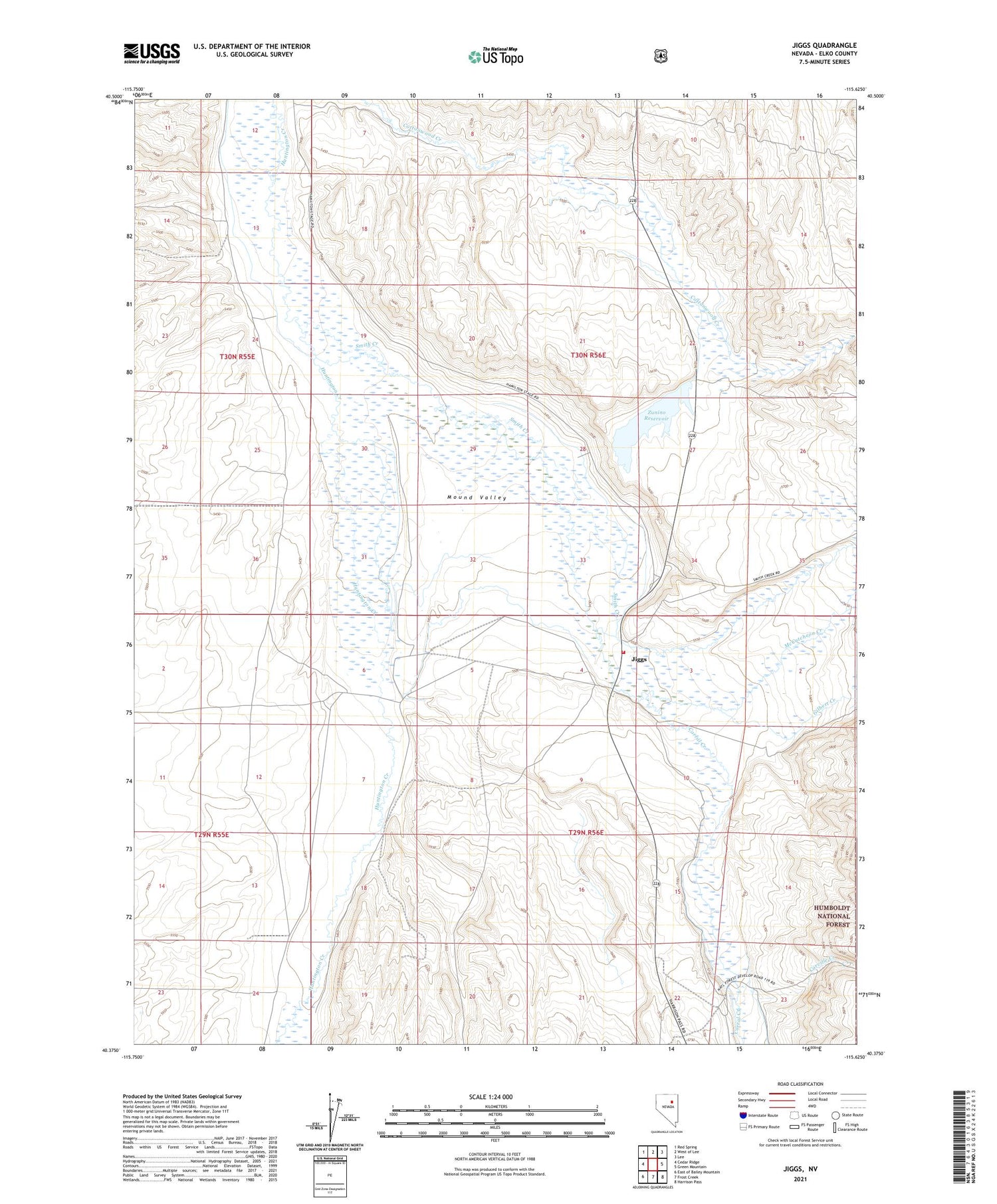
Also explore the Jiggs Forest Service Topo of this same quad for updated USFS data
2021 topographic map quadrangle Jiggs in the state of Nevada. Scale: 1:24000. Based on the newly updated USGS 7.5' US Topo map series, this map is in the following counties: Elko. The map contains contour data, water features, and other items you are used to seeing on USGS maps, but also has updated roads and other features. This is the next generation of topographic maps. Printed on high-quality waterproof paper with UV fade-resistant inks.
Quads adjacent to this one:
West: Cedar Ridge
Northwest: Red Spring
North: West of Lee
Northeast: Lee
East: Green Mountain
Southeast: Harrison Pass
South: Frost Creek
Southwest: East of Bailey Mountain
This map covers the same area as the classic USGS quad with code o40115d6.
Contains the following named places: Barnes Ranch, Bradleys, Browns, Carville Creek, Circle L Ranch, Corral Creek, Gilbert Creek, Governor Bradleys House, Hansel Ranch, Hansel Well Number 2, Jiggs, Jiggs Post Office, Jiggs Volunteer Fire Department, McCutcheon Creek, Millers, Mineral Soap Mine, Mound Valley, Mound Valley Elementary School, Skelton Post Office, Smith Creek, Zunino Ranch, Zunino Reservoir, Zunino Reservoir Dam