MyTopo
Bordwell Spring Nevada US Topo Map
Couldn't load pickup availability
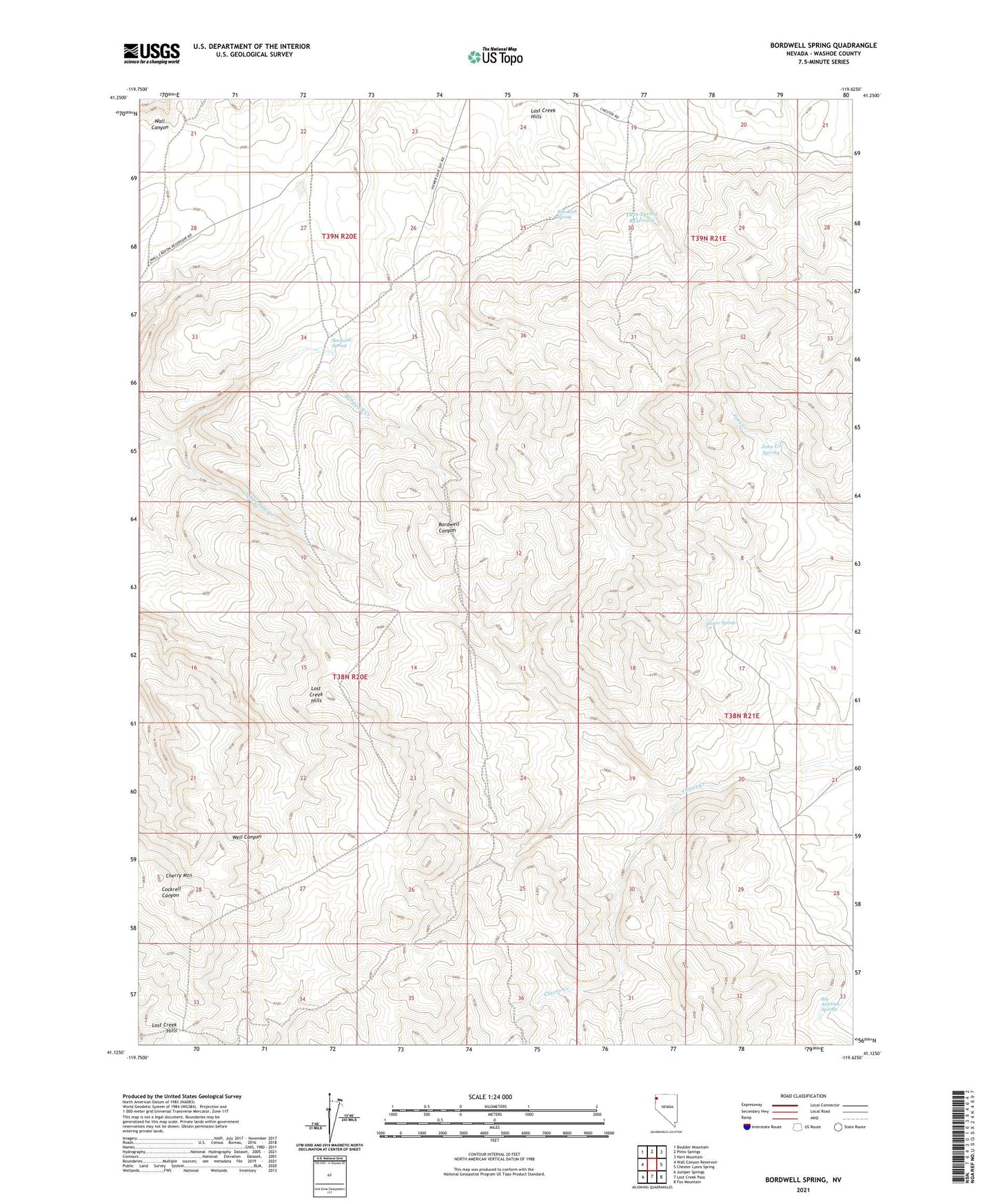
2021 topographic map quadrangle Bordwell Spring in the state of Nevada. Scale: 1:24000. Based on the newly updated USGS 7.5' US Topo map series, this map is in the following counties: Washoe. The map contains contour data, water features, and other items you are used to seeing on USGS maps, but also has updated roads and other features. This is the next generation of topographic maps. Printed on high-quality waterproof paper with UV fade-resistant inks.
Quads adjacent to this one:
West: Wall Canyon Reservoir
Northwest: Boulder Mountain
North: Pinto Springs
Northeast: Hart Mountain
East: Chester Lyons Spring
Southeast: Fox Mountain
South: Lost Creek Pass
Southwest: Juniper Springs
This map covers the same area as the classic USGS quad with code o41119b6.
Contains the following named places: Big Antelope Springs, Bordwell Camp, Bordwell Spring, Campoodie Creek, Campoodie Mine, Cherry Mountain, Clover Spring, Jims Creek Spring, Lost Creek Hills, Rim Rock Spring, Twin Spring Reservoir