MyTopo
Knoll Mountain Nevada US Topo Map
Couldn't load pickup availability
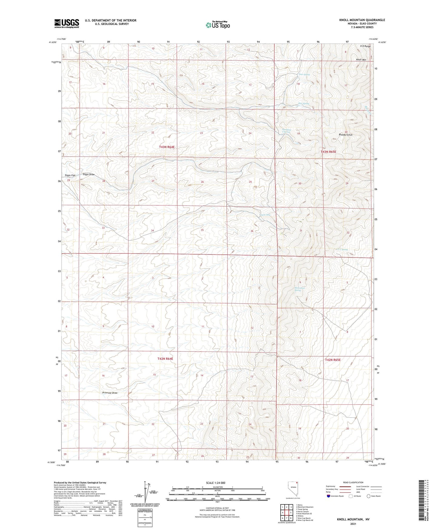
2021 topographic map quadrangle Knoll Mountain in the state of Nevada. Scale: 1:24000. Based on the newly updated USGS 7.5' US Topo map series, this map is in the following counties: Elko. The map contains contour data, water features, and other items you are used to seeing on USGS maps, but also has updated roads and other features. This is the next generation of topographic maps. Printed on high-quality waterproof paper with UV fade-resistant inks.
Quads adjacent to this one:
West: Harris Canyon
Northwest: Henry
North: Blanchard Mountain
Northeast: Texas Spring
East: Knoll Mountain SE
Southeast: Wine Cup Ranch NE
South: Wine Cup Ranch
Southwest: Wilkins
This map covers the same area as the classic USGS quad with code o41114e6.
Contains the following named places: Black Rock Spring, Bloody Gulch Dam, C C C Spring, Coyote Hole, Eagle Draw, Hice Spring, Knoll Mountain, Little Primrose Dam, Little Primrose Dam Reservoir, Nall Well, Primrose Draw, Silkworm Mine, Tiser Spring, Tumbling T Spring