MyTopo
Little Rock Creek Nevada US Topo Map
Couldn't load pickup availability
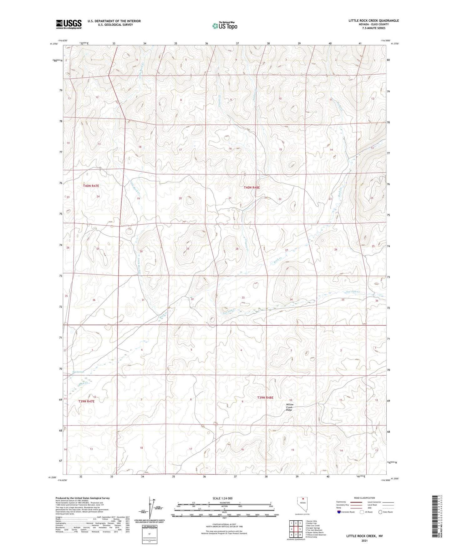
2021 topographic map quadrangle Little Rock Creek in the state of Nevada. Scale: 1:24000. Based on the newly updated USGS 7.5' US Topo map series, this map is in the following counties: Elko. The map contains contour data, water features, and other items you are used to seeing on USGS maps, but also has updated roads and other features. This is the next generation of topographic maps. Printed on high-quality waterproof paper with UV fade-resistant inks.
Quads adjacent to this one:
West: Scraper Springs
Northwest: Burner Hills
North: Soldier Cap
Northeast: Red Cow Creek
East: Toe Jam Mountain
Southeast: China Camp
South: Willow Creek Reservoir
Southwest: Squaw Valley Ranch
This map covers the same area as the classic USGS quad with code o41116c5.
Contains the following named places: Coyote Creek, Hot Springs, Little Rock Creek, Rock Creek Shearing Corral, Soldier Creek, Toe Jam Creek, Trout Creek, Willow Creek Ridge