MyTopo
Long Dry Canyon Nevada US Topo Map
Couldn't load pickup availability
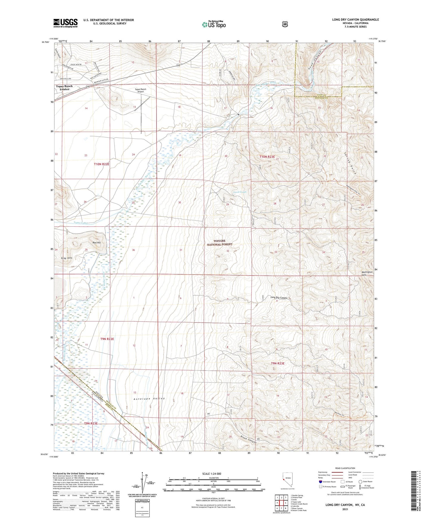
2021 topographic map quadrangle Long Dry Canyon in the state of Nevada. Scale: 1:24000. Based on the newly updated USGS 7.5' US Topo map series, this map is in the following counties: Douglas, Mono, Lyon. The map contains contour data, water features, and other items you are used to seeing on USGS maps, but also has updated roads and other features. This is the next generation of topographic maps. Printed on high-quality waterproof paper with UV fade-resistant inks.
Quads adjacent to this one:
West: Topaz Lake
Northwest: Double Spring
North: Oreana Peak
Northeast: Smith
East: Desert Creek Ranch
Southeast: Desert Creek Peak
South: Risue Canyon
Southwest: Coleville
Contains the following named places: Antelope Valley, Gold Mint Mine, Hoye Bridge, Long Dry Canyon, Pine Grove Mining District, Powell Trough, Red Hill, Risue Canyon, Spring Gulch, Toiyabe National Forest, Topaz Canal, Topaz Lake Division, Topaz Ranch Airport, Turtle Gulch, ZIP Code: 89444