MyTopo
Maiden Butte Nevada US Topo Map
Couldn't load pickup availability
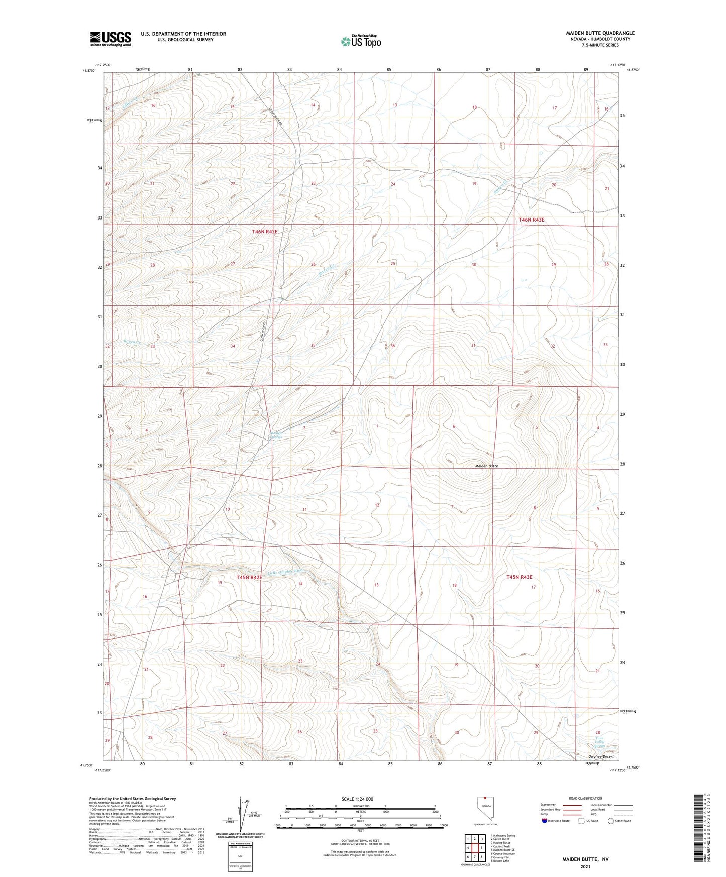
2021 topographic map quadrangle Maiden Butte in the state of Nevada. Scale: 1:24000. Based on the newly updated USGS 7.5' US Topo map series, this map is in the following counties: Humboldt. The map contains contour data, water features, and other items you are used to seeing on USGS maps, but also has updated roads and other features. This is the next generation of topographic maps. Printed on high-quality waterproof paper with UV fade-resistant inks.
Quads adjacent to this one:
West: Capitol Peak
Northwest: Mahogany Spring
North: Calico Butte
Northeast: Nadine Butte
East: Maiden Butte SE
Southeast: Button Lake
South: Greeley Flat
Southwest: Coyote Mountain
This map covers the same area as the classic USGS quad with code o41117g2.
Contains the following named places: Galico Ranch, Maiden Butte, Maiden Springs, Owyhee Camp, Twin Valley Springs, Twin Valleys