MyTopo
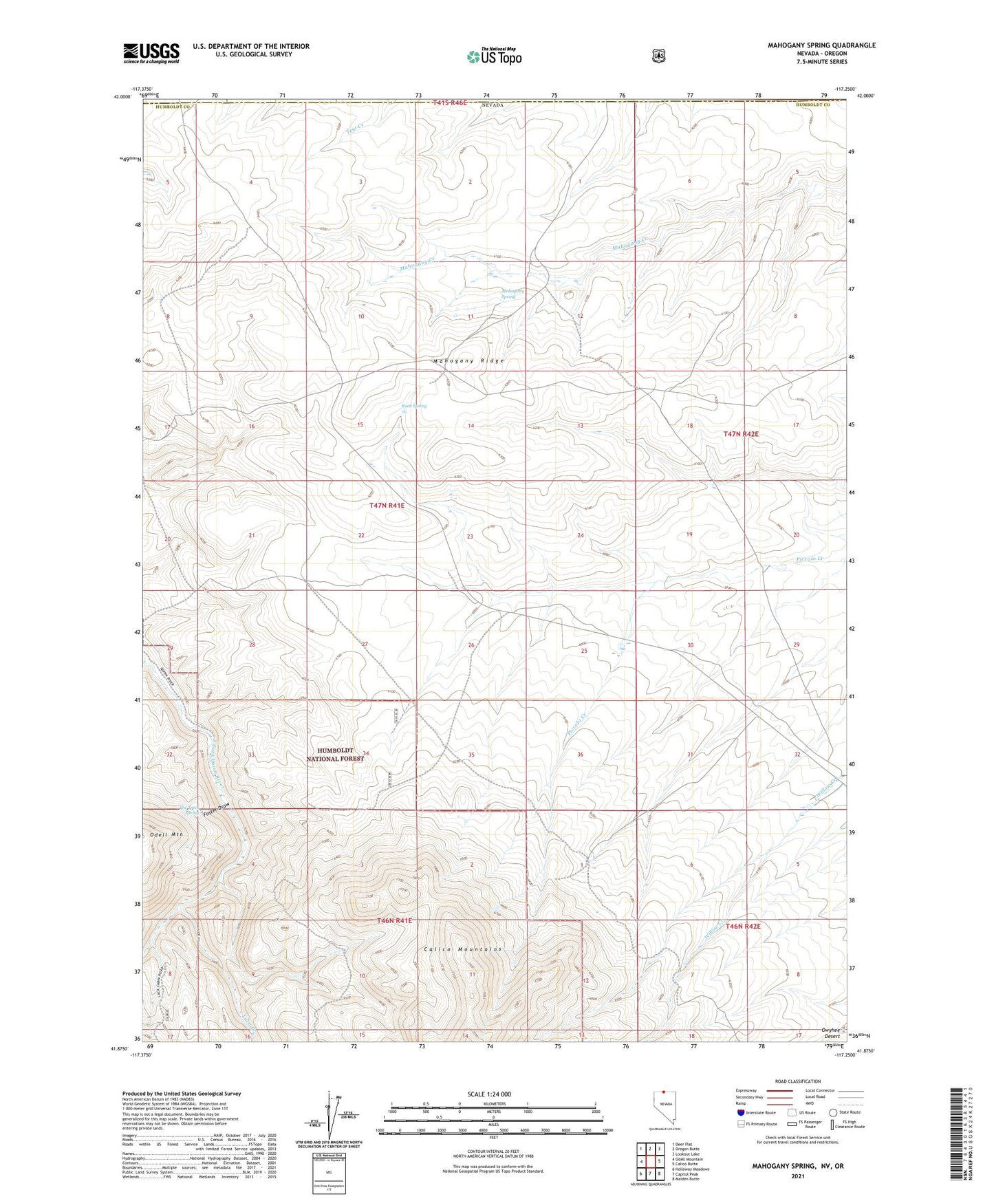
Mahogany Spring Nevada US Topo Map
Couldn't load pickup availability
Also explore the Mahogany Spring Forest Service Topo of this same quad for updated USFS data
2021 topographic map quadrangle Mahogany Spring in the state of Nevada. Scale: 1:24000. Based on the newly updated USGS 7.5' US Topo map series, this map is in the following counties: Humboldt, Malheur. The map contains contour data, water features, and other items you are used to seeing on USGS maps, but also has updated roads and other features. This is the next generation of topographic maps. Printed on high-quality waterproof paper with UV fade-resistant inks.
Quads adjacent to this one:
West: Odell Mountain
Northwest: Deer Flat
North: Oregon Butte
Northeast: Lookout Lake
East: Calico Butte
Southeast: Maiden Butte
South: Capitol Peak
Southwest: Holloway Meadows
Contains the following named places: Foster Draw, Laca Creek, Lone Willow, Mahogany Ridge, Mahogany Spring, Owyhee Reservoir 3, Rock Spring, The Trees Spring