MyTopo
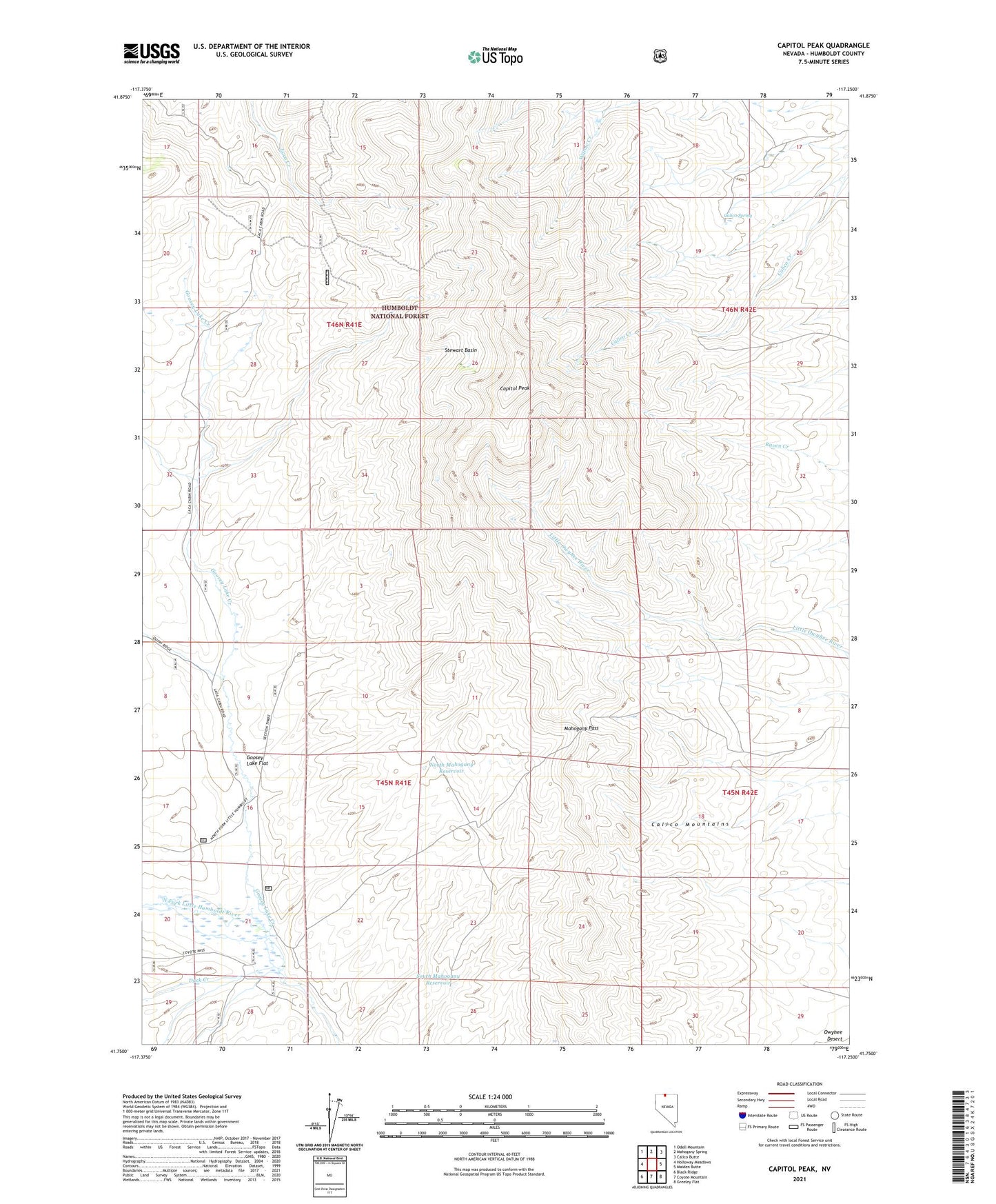
Capitol Peak Nevada US Topo Map
Couldn't load pickup availability
Also explore the Capitol Peak Forest Service Topo of this same quad for updated USFS data
2021 topographic map quadrangle Capitol Peak in the state of Nevada. Scale: 1:24000. Based on the newly updated USGS 7.5' US Topo map series, this map is in the following counties: Humboldt. The map contains contour data, water features, and other items you are used to seeing on USGS maps, but also has updated roads and other features. This is the next generation of topographic maps. Printed on high-quality waterproof paper with UV fade-resistant inks.
Quads adjacent to this one:
West: Holloway Meadows
Northwest: Odell Mountain
North: Mahogany Spring
Northeast: Calico Butte
East: Maiden Butte
Southeast: Greeley Flat
South: Coyote Mountain
Southwest: Black Ridge
This map covers the same area as the classic USGS quad with code o41117g3.
Contains the following named places: Calico Mountains, Calico Spring, Capitol Peak, Duck Creek, Forks Ranch, Goosey Lake Creek, Goosey Lake Flat, Laca Camp, Mahogany Pass, North Mahogany Reservoir, South Mahogany Reservoir, Stewart Basin