MyTopo
Mooney Basin Summit Nevada US Topo Map
Couldn't load pickup availability
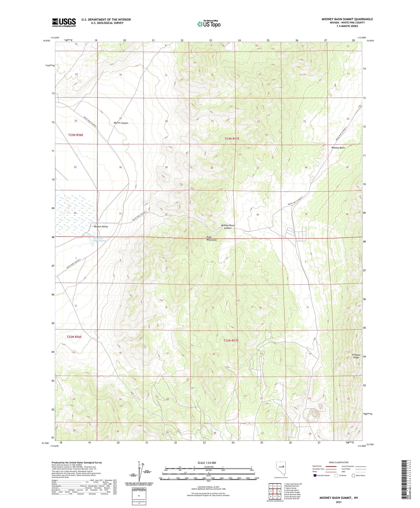
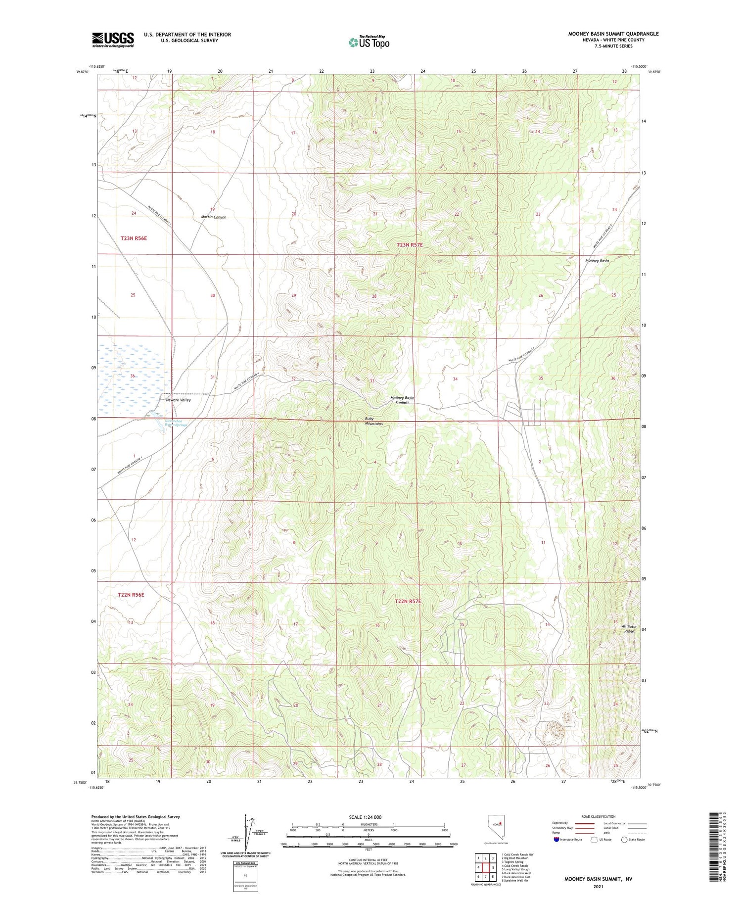
2021 topographic map quadrangle Mooney Basin Summit in the state of Nevada. Scale: 1:24000. Based on the newly updated USGS 7.5' US Topo map series, this map is in the following counties: White Pine. The map contains contour data, water features, and other items you are used to seeing on USGS maps, but also has updated roads and other features. This is the next generation of topographic maps. Printed on high-quality waterproof paper with UV fade-resistant inks.
Quads adjacent to this one:
West: Cold Creek Ranch
Northwest: Cold Creek Ranch NW
North: Big Bald Mountain
Northeast: Tognini Spring
East: Long Valley Slough
Southeast: Sunshine Well NW
South: Buck Mountain East
Southwest: Buck Mountain West
This map covers the same area as the classic USGS quad with code o39115g5.
Contains the following named places: Alligator Ridge, Alligator Ridge Gold Mine, Giocoechea Warm Springs, Martin Canyon, Mooney Basin Summit, Warm Springs Ranch