MyTopo
Cold Creek Ranch Nevada US Topo Map
Couldn't load pickup availability
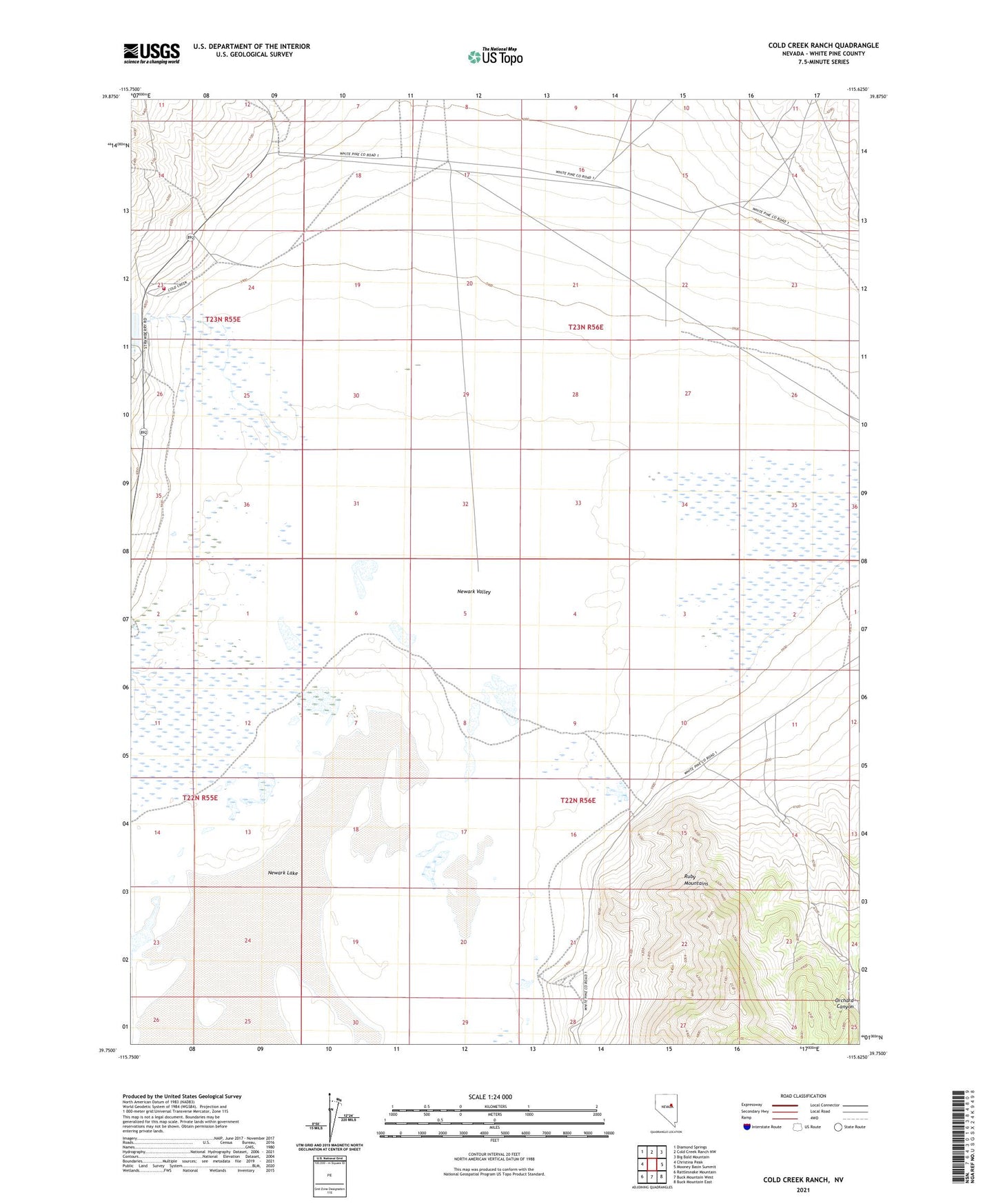
2021 topographic map quadrangle Cold Creek Ranch in the state of Nevada. Scale: 1:24000. Based on the newly updated USGS 7.5' US Topo map series, this map is in the following counties: White Pine. The map contains contour data, water features, and other items you are used to seeing on USGS maps, but also has updated roads and other features. This is the next generation of topographic maps. Printed on high-quality waterproof paper with UV fade-resistant inks.
Quads adjacent to this one:
West: Christina Peak
Northwest: Diamond Springs
North: Cold Creek Ranch NW
Northeast: Big Bald Mountain
East: Mooney Basin Summit
Southeast: Buck Mountain East
South: Buck Mountain West
Southwest: Rattlesnake Mountain
This map covers the same area as the classic USGS quad with code o39115g6.
Contains the following named places: Cold Creek, Cold Creek Dam, Cold Creek Ranch, Cold Creek Volunteer Fire Department, Orchard Canyon, Simonsen, Simonsen Post Office