MyTopo
Buck Mountain West Nevada US Topo Map
Couldn't load pickup availability
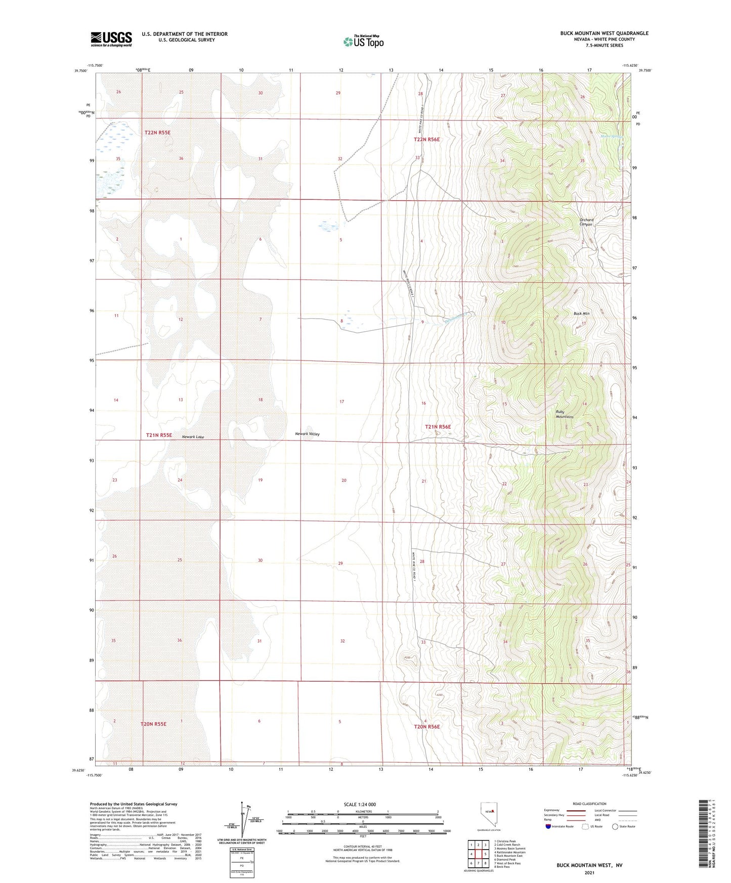
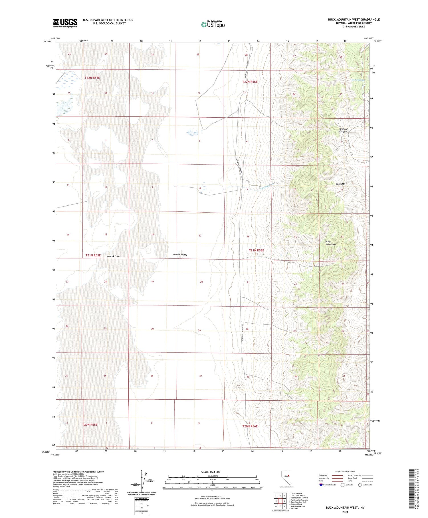
2021 topographic map quadrangle Buck Mountain West in the state of Nevada. Scale: 1:24000. Based on the newly updated USGS 7.5' US Topo map series, this map is in the following counties: White Pine. The map contains contour data, water features, and other items you are used to seeing on USGS maps, but also has updated roads and other features. This is the next generation of topographic maps. Printed on high-quality waterproof paper with UV fade-resistant inks.
Quads adjacent to this one:
West: Rattlesnake Mountain
Northwest: Christina Peak
North: Cold Creek Ranch
Northeast: Mooney Basin Summit
East: Buck Mountain East
Southeast: Beck Pass
South: West of Beck Pass
Southwest: Diamond Peak
This map covers the same area as the classic USGS quad with code o39115f6.
Contains the following named places: Buck Mountain, Buck Station, Deadman Creek, Moore Springs, Newark Lake, Route of Elko-Hamilton Stage Lines