MyTopo
Mormon Dan Butte Nevada US Topo Map
Couldn't load pickup availability
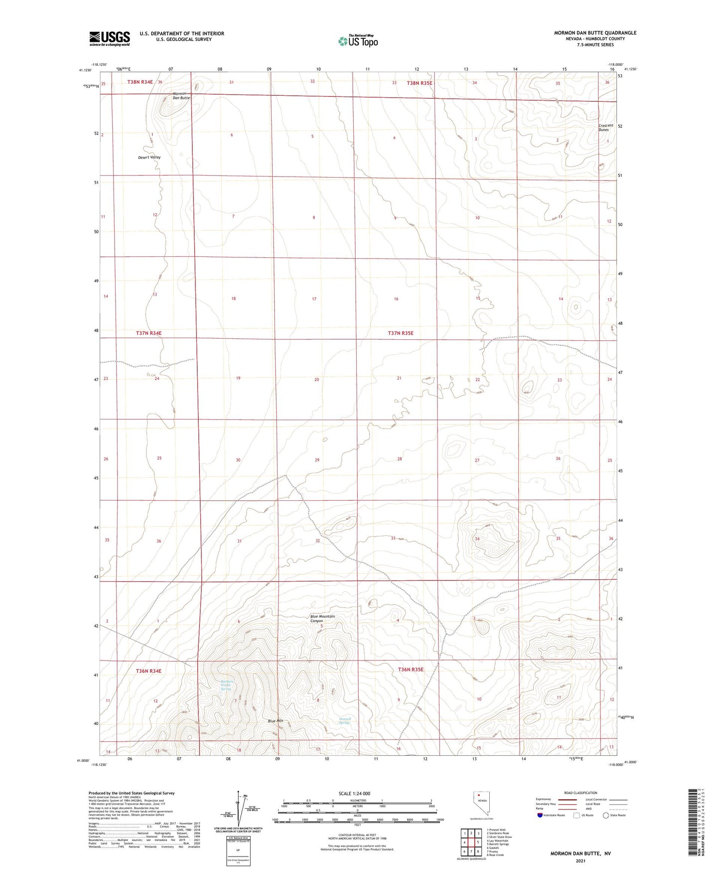
2021 topographic map quadrangle Mormon Dan Butte in the state of Nevada. Scale: 1:24000. Based on the newly updated USGS 7.5' US Topo map series, this map is in the following counties: Humboldt. The map contains contour data, water features, and other items you are used to seeing on USGS maps, but also has updated roads and other features. This is the next generation of topographic maps. Printed on high-quality waterproof paper with UV fade-resistant inks.
Quads adjacent to this one:
West: Lay Waterhole
Northwest: Presnel Well
North: Sombrero Peak
Northeast: Silver State Draw
East: Barrett Springs
Southeast: Rose Creek
South: Pronto
Southwest: Gaskell
This map covers the same area as the classic USGS quad with code o41118a1.
Contains the following named places: Barbara Worth Spring, Blue Mountain Canyon, Crescent Dunes, Donnell Spring, Mormon Dan Butte