MyTopo
Rose Creek Nevada US Topo Map
Couldn't load pickup availability
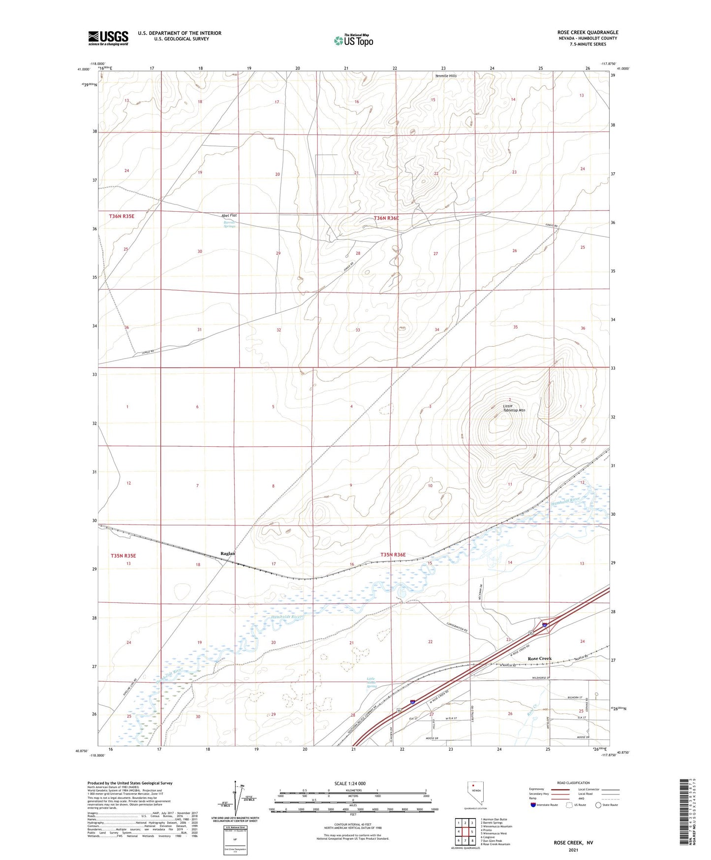
2021 topographic map quadrangle Rose Creek in the state of Nevada. Scale: 1:24000. Based on the newly updated USGS 7.5' US Topo map series, this map is in the following counties: Humboldt. The map contains contour data, water features, and other items you are used to seeing on USGS maps, but also has updated roads and other features. This is the next generation of topographic maps. Printed on high-quality waterproof paper with UV fade-resistant inks.
Quads adjacent to this one:
West: Pronto
Northwest: Mormon Dan Butte
North: Barrett Springs
Northeast: Winnemucca Mountain
East: Winnemucca West
Southeast: Rose Creek Mountain
South: Dun Glen Peak
Southwest: Cosgrave
This map covers the same area as the classic USGS quad with code o40117h8.
Contains the following named places: Abel Flat, Abel Flat Well, Barrett Springs, Barrett Springs Windmill, Clear Creek, Golden Amythest Mine, Hillyer Ranch, Little Alkali Spring, Little Tabletop Mountain, McNinch Ranch, Raglan, Rose Creek, Tenmile Mine