MyTopo
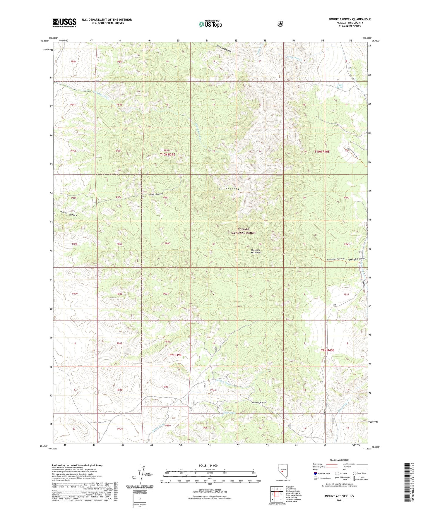
Mount Ardivey Nevada US Topo Map
Couldn't load pickup availability
Also explore the Mount Ardivey Forest Service Topo of this same quad for updated USFS data
2021 topographic map quadrangle Mount Ardivey in the state of Nevada. Scale: 1:24000. Based on the newly updated USGS 7.5' US Topo map series, this map is in the following counties: Nye. The map contains contour data, water features, and other items you are used to seeing on USGS maps, but also has updated roads and other features. This is the next generation of topographic maps. Printed on high-quality waterproof paper with UV fade-resistant inks.
Quads adjacent to this one:
West: Black Spring NW
Northwest: Ione SW
North: Grantsville
Northeast: Bakeoven Creek
East: Farrington Canyon
Southeast: Secret Basin
South: Cloverdale Ranch
Southwest: Black Spring
This map covers the same area as the classic USGS quad with code o38117f5.
Contains the following named places: Cripple Spring, East Golden Mine, Farrington Canyon, Farrington Ranch, Golden, Golden King Mine, Golden Post Office, Golden Spring, Golden Summit, Merritt Canyon, Mount Ardivey, Republic Mines, Weeks Canyon Trailhead