
MyTopo
Mount Jefferson Nevada US Topo Map
Couldn't load pickup availability
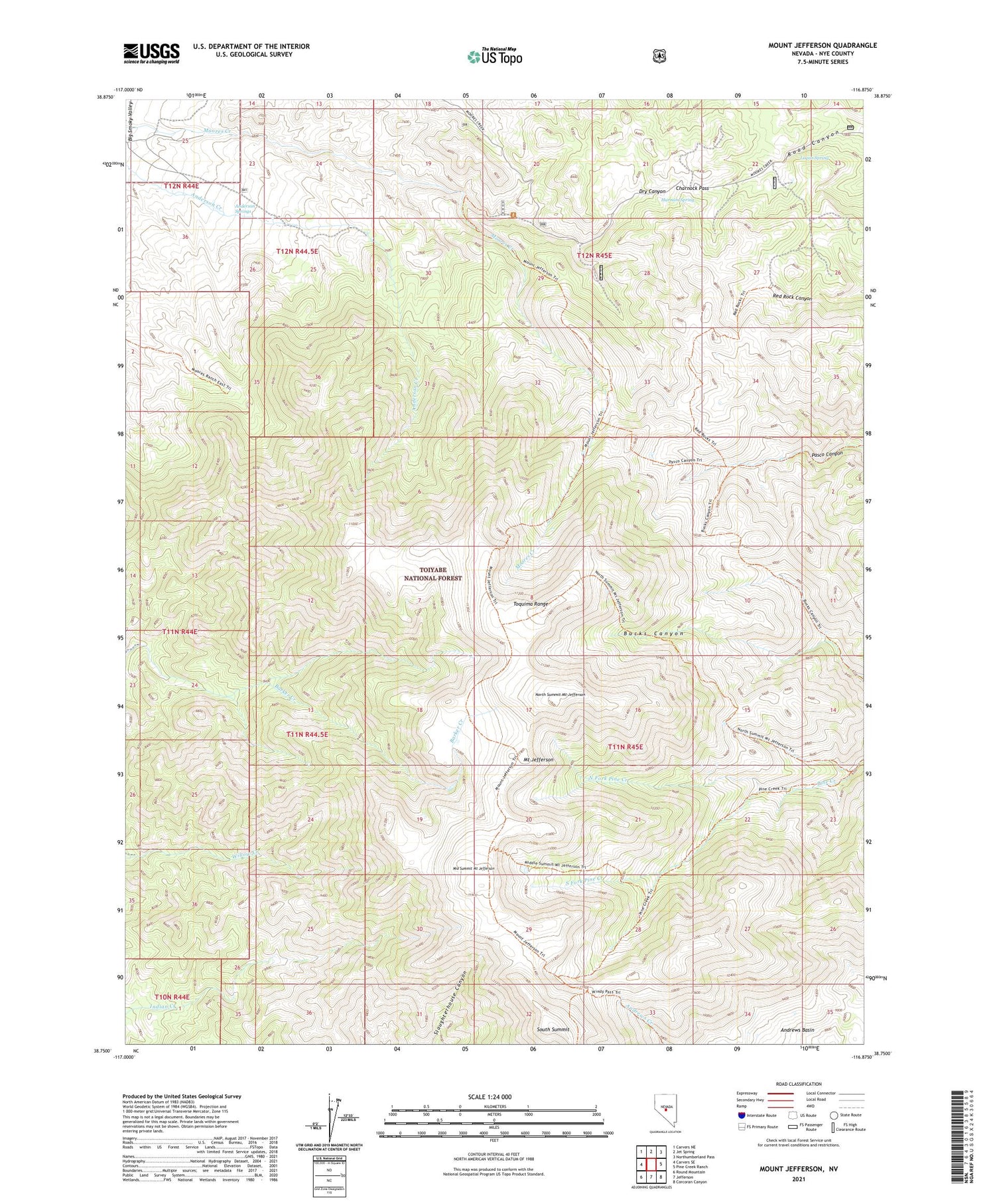
2021 topographic map quadrangle Mount Jefferson in the state of Nevada. Scale: 1:24000. Based on the newly updated USGS 7.5' US Topo map series, this map is in the following counties: Nye. The map contains contour data, water features, and other items you are used to seeing on USGS maps, but also has updated roads and other features. This is the next generation of topographic maps. Printed on high-quality waterproof paper with UV fade-resistant inks.
Quads adjacent to this one:
West: Carvers SE
Northwest: Carvers NE
North: Jet Spring
Northeast: Northumberland Pass
East: Pine Creek Ranch
Southeast: Corcoran Canyon
South: Jefferson
Southwest: Round Mountain
Contains the following named places: Alta Toquima Wilderness, Anderson Springs, Charnock Pass, Dry Canyon, Harmon Spring, Jumping Jack Mine, Logan Spring, Middle Summit Mount Jefferson, Moores Creek Ranch, Mount Jefferson, Mount Jefferson Trail, Mount Jefferson Trailhead, North Fork Pine Creek, North Summit Mount Jefferson, South Fork Pine Creek, South Summit


