MyTopo
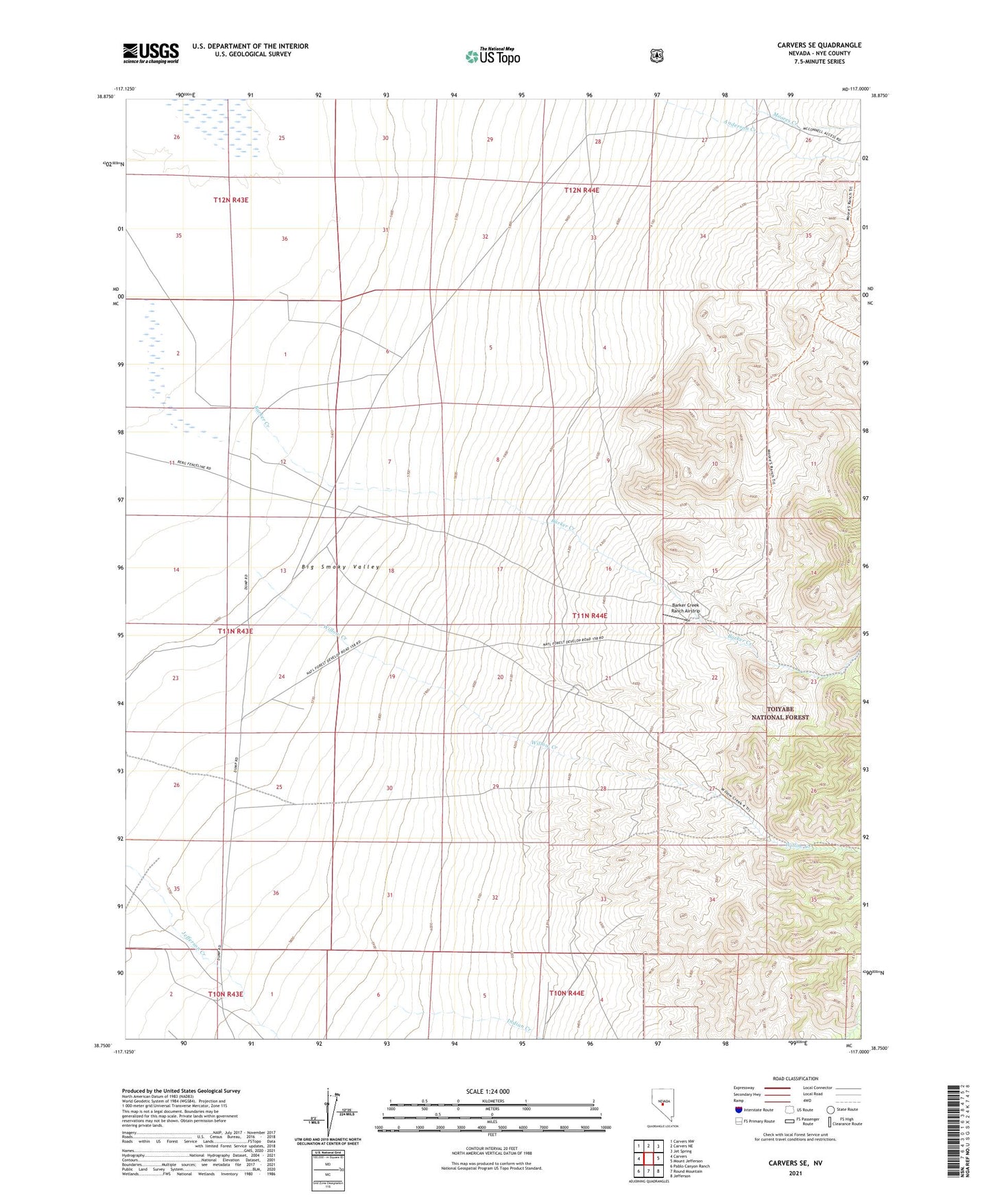
Carvers SE Nevada US Topo Map
Couldn't load pickup availability
Also explore the Carvers SE Forest Service Topo of this same quad for updated USFS data
2021 topographic map quadrangle Carvers SE in the state of Nevada. Scale: 1:24000. Based on the newly updated USGS 7.5' US Topo map series, this map is in the following counties: Nye. The map contains contour data, water features, and other items you are used to seeing on USGS maps, but also has updated roads and other features. This is the next generation of topographic maps. Printed on high-quality waterproof paper with UV fade-resistant inks.
Quads adjacent to this one:
West: Carvers
Northwest: Carvers NW
North: Carvers NE
Northeast: Jet Spring
East: Mount Jefferson
Southeast: Jefferson
South: Round Mountain
Southwest: Pablo Canyon Ranch
This map covers the same area as the classic USGS quad with code o38117g1.
Contains the following named places: Barker Creek, Barker Creek Ranch Airstrip, Darrough Ranch Well, Gold Hill Mill, Jakes Well, Shoshone Creek, Willow Creek