MyTopo
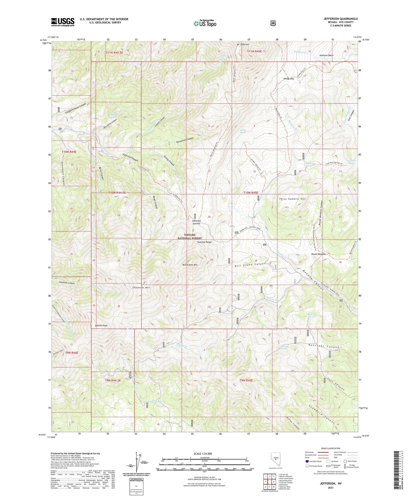
Jefferson Nevada US Topo Map
Couldn't load pickup availability
Also explore the Jefferson Forest Service Topo of this same quad for updated USFS data
2021 topographic map quadrangle Jefferson in the state of Nevada. Scale: 1:24000. Based on the newly updated USGS 7.5' US Topo map series, this map is in the following counties: Nye. The map contains contour data, water features, and other items you are used to seeing on USGS maps, but also has updated roads and other features. This is the next generation of topographic maps. Printed on high-quality waterproof paper with UV fade-resistant inks.
Quads adjacent to this one:
West: Round Mountain
Northwest: Carvers SE
North: Mount Jefferson
Northeast: Pine Creek Ranch
East: Corcoran Canyon
Southeast: Belmont East
South: Belmont West
Southwest: Manhattan
This map covers the same area as the classic USGS quad with code o38116f8.
Contains the following named places: Andrews Basin, Antone Creek, Austin Belmont Stage Route, Barcelona, Barcelona Mine, Barcelona Mining District, Barcelona Summit, Berlin Canyon, Bull Frame Canyon, Bull Frame Mountain, Davenport Canyon, Flower Mine, Flowers Camp, Grassy Canyon, Horsethief Canyon, Jefferson, Jefferson Canyon Mining District, Jefferson Mine, Jefferson Post Office, Jefferson Summit, Lone Pine Spring, Meadow Canyon Guard Station, Meadow Canyon State Game Refuge, Mogul Canyon, Pipe Organ Spring, Prussian Mine, Prussian South Mine, Round Meadow, Round Meadow Canyon, Ryecroft Spring, Sage Hen Spring, San Pedros, Sawmill Canyon, Sawmill Creek, Shoshone Mountain, Soldier Spring, Spanish Peak, Three Summits Hill, Tonopah Ranger District, Van Ness, Van Ness Mine, Wild Horse Canyon, Wild Horse Spring, Windy Pass