MyTopo
Mule Canyon Nevada US Topo Map
Couldn't load pickup availability
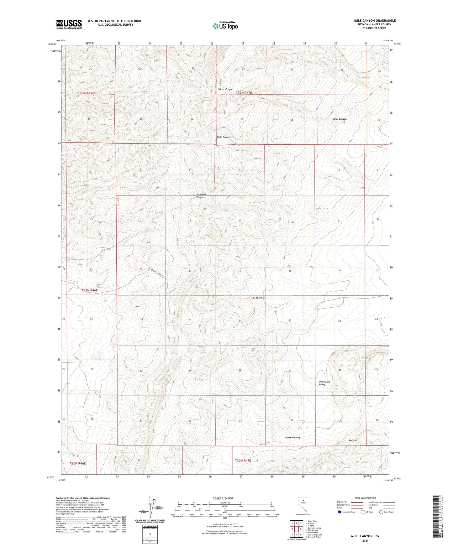
2021 topographic map quadrangle Mule Canyon in the state of Nevada. Scale: 1:24000. Based on the newly updated USGS 7.5' US Topo map series, this map is in the following counties: Lander. The map contains contour data, water features, and other items you are used to seeing on USGS maps, but also has updated roads and other features. This is the next generation of topographic maps. Printed on high-quality waterproof paper with UV fade-resistant inks.
Quads adjacent to this one:
West: Bateman Spring
Northwest: Stony Point
North: Argenta
Northeast: Dunphy
East: The Geysers
Southeast: Crescent Valley
South: Mud Spring Gulch
Southwest: Mount Lewis
This map covers the same area as the classic USGS quad with code o40116e6.
Contains the following named places: A C Barite Mine, Argenta Mining District, Bante Mine, Deer Canyon, Dolezal Mine, Horse Heaven, Malpais, Miller Mine