MyTopo
Nyala Nevada US Topo Map
Couldn't load pickup availability
Also explore the Nyala Forest Service Topo of this same quad for updated USFS data
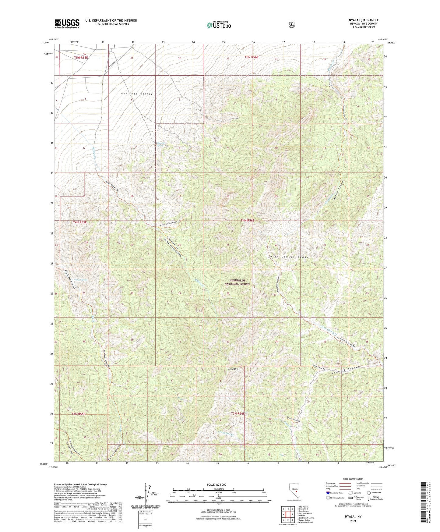
2021 topographic map quadrangle Nyala in the state of Nevada. Scale: 1:24000. Based on the newly updated USGS 7.5' US Topo map series, this map is in the following counties: Nye. The map contains contour data, water features, and other items you are used to seeing on USGS maps, but also has updated roads and other features. This is the next generation of topographic maps. Printed on high-quality waterproof paper with UV fade-resistant inks.
Quads adjacent to this one:
West: Big Creek Ranch
Northwest: The Wall SE
North: Crows Nest
Northeast: Troy Canyon
East: Adaven
Southeast: Wadsworth Ranch
South: Badger Gulch
Southwest: Goat Ranch Springs
This map covers the same area as the classic USGS quad with code o38115b6.
Contains the following named places: Cherry Creek Forest Service Recreation Site, Grouse Spring, Hooper Canyon, Mamouth Mine, Mayflower Mine, Melbourne Mine, Monitor Spring, Nyala, Nyala Post Office, Queen of the West Mine, Quinn Canyon Wilderness, Sharp Ranch, Troy Mountain, Willow Creek, Willow Creek Canyon, Willow Creek Mine