MyTopo
Oregon Canyon Nevada US Topo Map
Couldn't load pickup availability
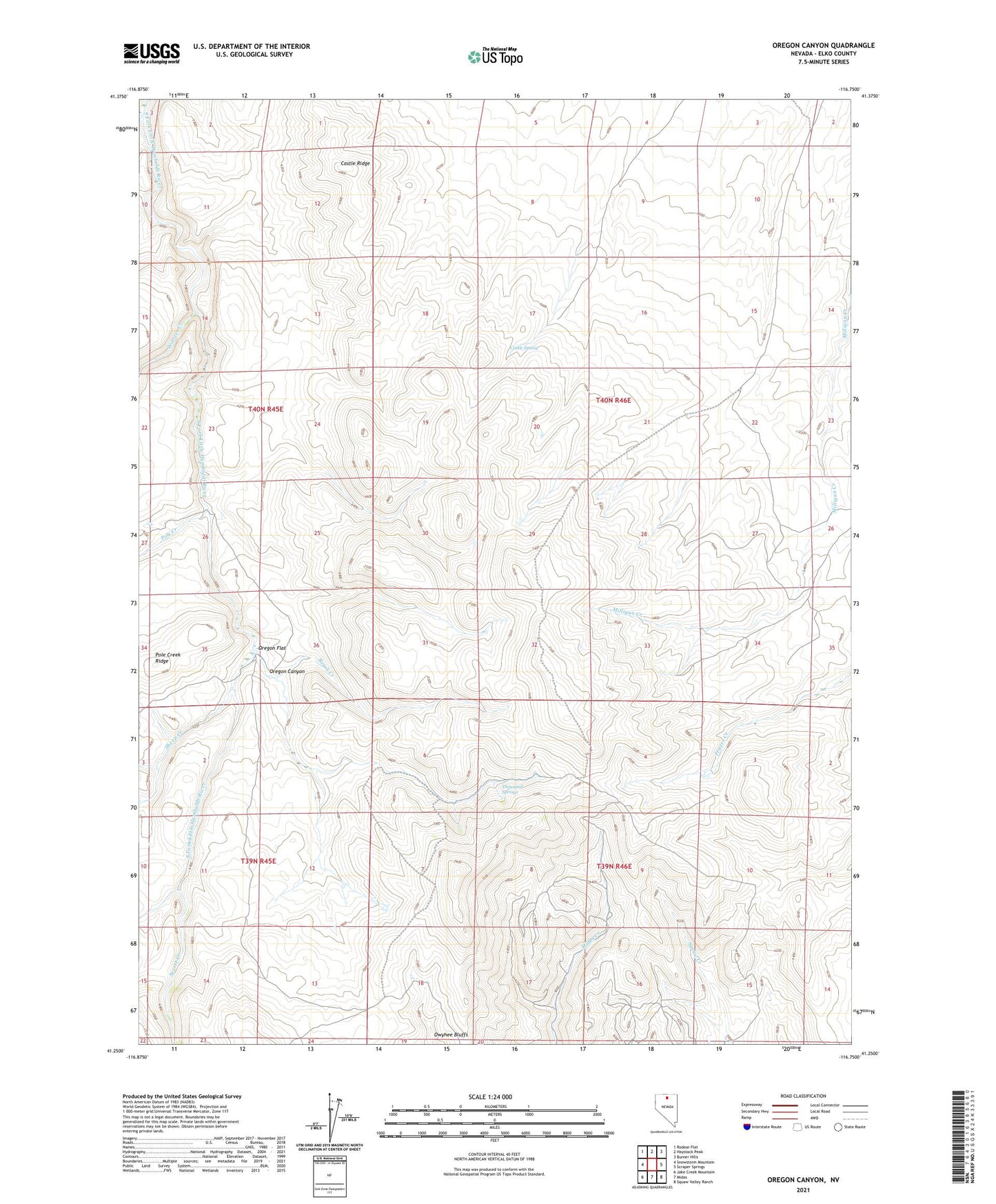
2023 topographic map quadrangle Oregon Canyon in the state of Nevada. Scale: 1:24000. Based on the newly updated USGS 7.5' US Topo map series, this map is in the following counties: Elko. The map contains contour data, water features, and other items you are used to seeing on USGS maps, but also has updated roads and other features. This is the next generation of topographic maps. Printed on high-quality waterproof paper with UV fade-resistant inks.
Quads adjacent to this one:
West: Snowstorm Mountain
Northwest: Rodear Flat
North: Haystack Peak
Northeast: Burner Hills
East: Scraper Springs
Southeast: Squaw Valley Ranch
South: Midas
Southwest: Jake Creek Mountain
This map covers the same area as the classic USGS quad with code o41116c7.
Contains the following named places: Blue Bell Mine, Brush Creek, Castle Ridge, Castle Spring, Elko Prince Mine, June Bell Mine, Little Jewell Mine, Miners Gold Mine, Myers Ranch, Oregon Canyon, Oregon Flat, Pole Creek, Secret Creek, Sheep Creek, Thousand Springs, Water Witch Mine, Winters Creek