MyTopo
Outlaw Springs NE Nevada US Topo Map
Couldn't load pickup availability
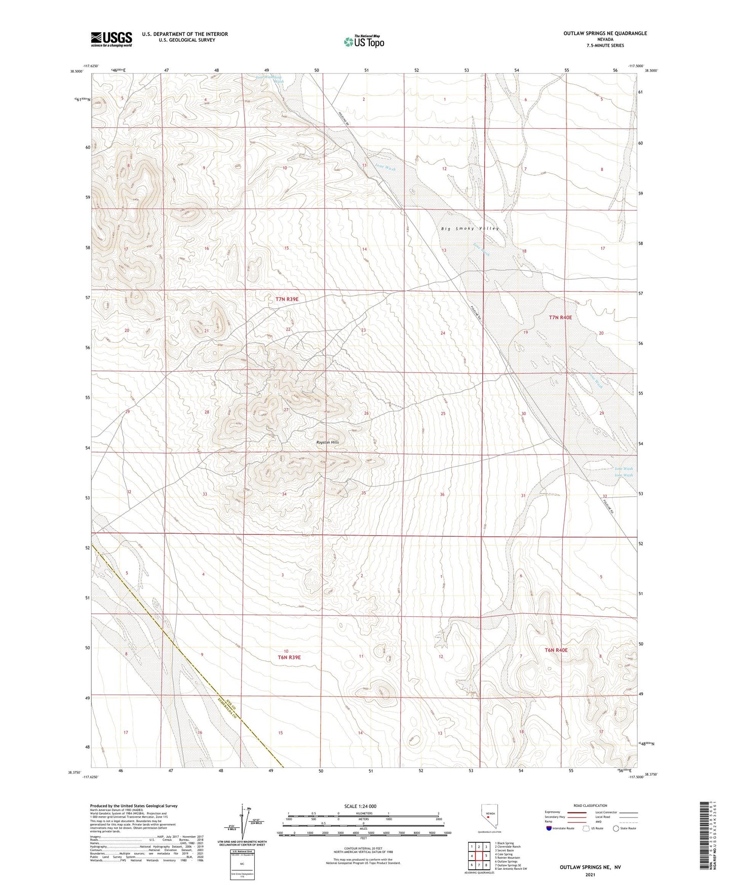
2021 topographic map quadrangle Outlaw Springs NE in the state of Nevada. Scale: 1:24000. Based on the newly updated USGS 7.5' US Topo map series, this map is in the following counties: Nye, Esmeralda. The map contains contour data, water features, and other items you are used to seeing on USGS maps, but also has updated roads and other features. This is the next generation of topographic maps. Printed on high-quality waterproof paper with UV fade-resistant inks.
Quads adjacent to this one:
West: Cole Spring
Northwest: Black Spring
North: Cloverdale Ranch
Northeast: Secret Basin
East: Rainier Mountain
Southeast: San Antonio Ranch SW
South: Outlaw Springs SE
Southwest: Outlaw Springs
This map covers the same area as the classic USGS quad with code o38117d5.
Contains the following named places: Campbell and Kelly Shaft, Cloverdale Creek, Foy Betts Shaft, Royston Hills, Royston Mines, Royston Mining District, Walker Shaft