MyTopo
Pahroc Spring SE Nevada US Topo Map
Couldn't load pickup availability
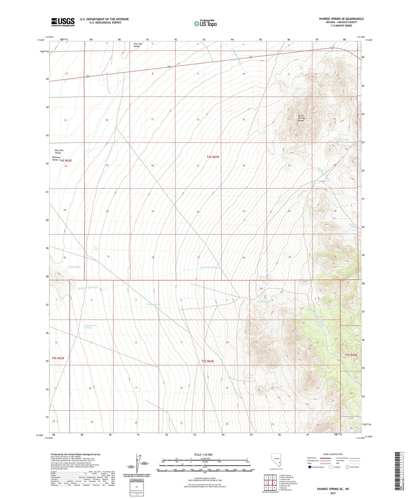
2021 topographic map quadrangle Pahroc Spring SE in the state of Nevada. Scale: 1:24000. Based on the newly updated USGS 7.5' US Topo map series, this map is in the following counties: Lincoln. The map contains contour data, water features, and other items you are used to seeing on USGS maps, but also has updated roads and other features. This is the next generation of topographic maps. Printed on high-quality waterproof paper with UV fade-resistant inks.
Quads adjacent to this one:
West: Pahroc Summit Pass
Northwest: Pahroc Spring
North: Pahroc Spring NE
Northeast: Caliente NW
East: Chokecherry Mountain
Southeast: Slidy Mountain
South: Delamar
Southwest: Delamar NW
This map covers the same area as the classic USGS quad with code o37114e7.
Contains the following named places: Caliente Flight Strip Airport, Cottonwood Springs, Dry Lake Valley, Grassy Spring, Hughie Spring, Peggy Lee Mine, Red Rock Spring, Sawyer Spring, Seven Oaks Spring