MyTopo
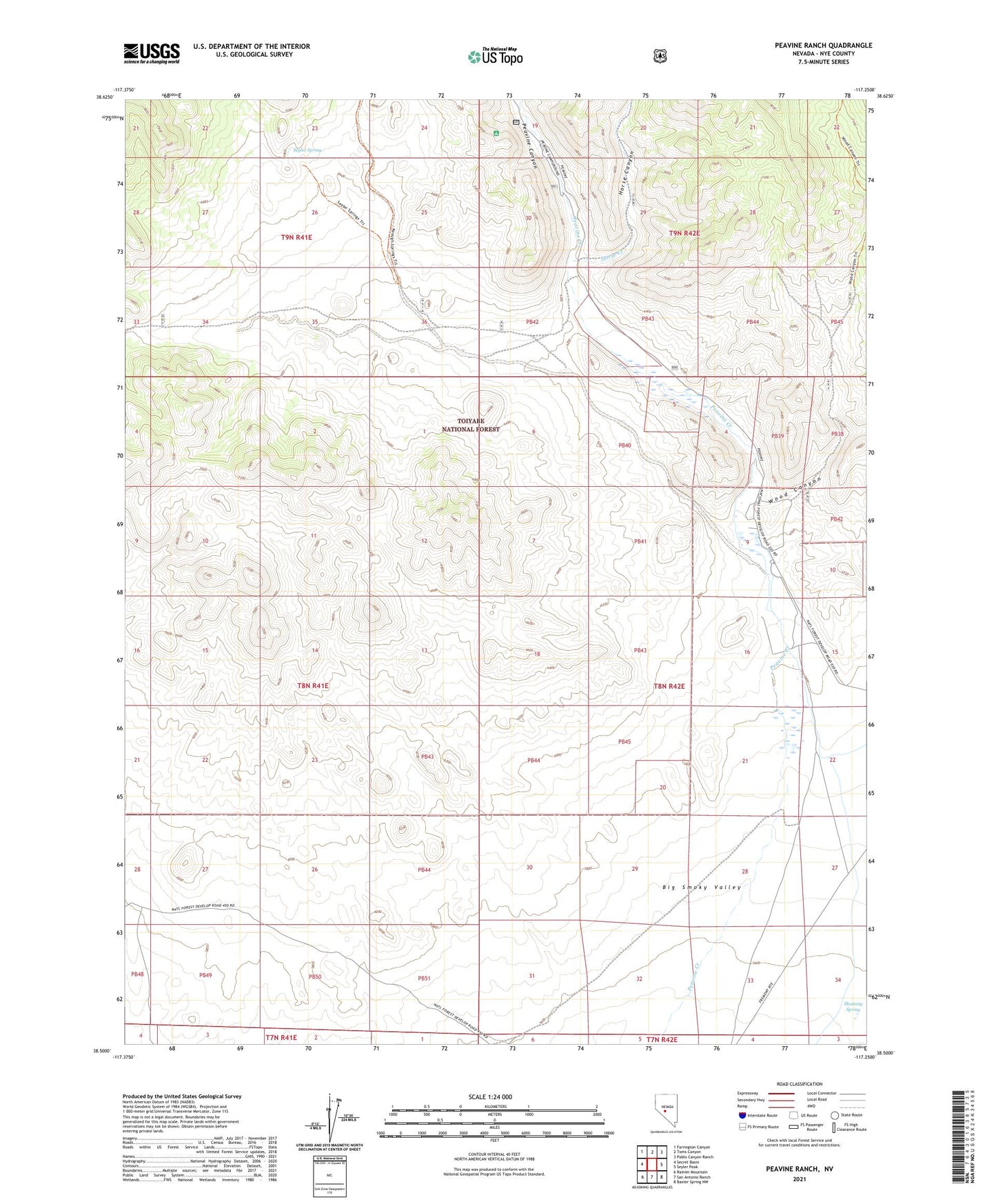
Peavine Ranch Nevada US Topo Map
Couldn't load pickup availability
Also explore the Peavine Ranch Forest Service Topo of this same quad for updated USFS data
2021 topographic map quadrangle Peavine Ranch in the state of Nevada. Scale: 1:24000. Based on the newly updated USGS 7.5' US Topo map series, this map is in the following counties: Nye. The map contains contour data, water features, and other items you are used to seeing on USGS maps, but also has updated roads and other features. This is the next generation of topographic maps. Printed on high-quality waterproof paper with UV fade-resistant inks.
Quads adjacent to this one:
West: Secret Basin
Northwest: Farrington Canyon
North: Toms Canyon
Northeast: Pablo Canyon Ranch
East: Seyler Peak
Southeast: Baxter Spring NW
South: San Antonio Ranch
Southwest: Rainier Mountain
This map covers the same area as the classic USGS quad with code o38117e3.
Contains the following named places: Horse Canyon, Horse Creek, Indian Springs, Mustang Spring, Peavine, Peavine Canyon, Peavine Forest Service Facility, Peavine Forest Service Recreation Site, Peavine Post Office, Peavine Ranch, Seyler Spring, Upper Peavine Ranch, Wood Canyon