MyTopo
Toms Canyon Nevada US Topo Map
Couldn't load pickup availability
Also explore the Toms Canyon Forest Service Topo of this same quad for updated USFS data
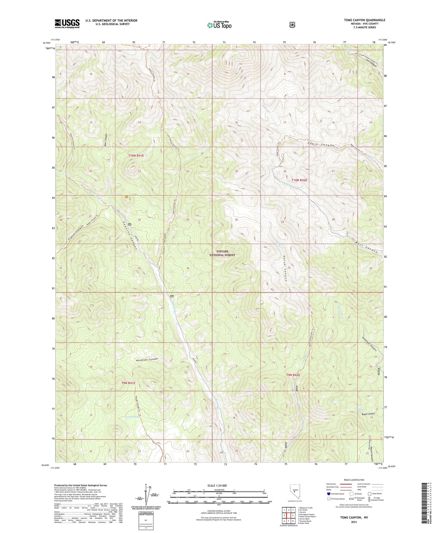
2021 topographic map quadrangle Toms Canyon in the state of Nevada. Scale: 1:24000. Based on the newly updated USGS 7.5' US Topo map series, this map is in the following counties: Nye. The map contains contour data, water features, and other items you are used to seeing on USGS maps, but also has updated roads and other features. This is the next generation of topographic maps. Printed on high-quality waterproof paper with UV fade-resistant inks.
Quads adjacent to this one:
West: Farrington Canyon
Northwest: Bakeoven Creek
North: Arc Dome
Northeast: Carvers
East: Pablo Canyon Ranch
Southeast: Seyler Peak
South: Peavine Ranch
Southwest: Secret Basin
This map covers the same area as the classic USGS quad with code o38117f3.
Contains the following named places: Barney Meadows Creek, Cinnabar Mine, Deer Canyon, Dollar Mine, Handcuff Canyon, Horse Canyon Mine, Jett Mining District, Keough Spring, Peavine Canyon Trailhead, Poplar Canyon, Toms Canyon, Toms Canyon Trailhead, Wall Canyon Mine