MyTopo
Pole Creek Nevada US Topo Map
Couldn't load pickup availability
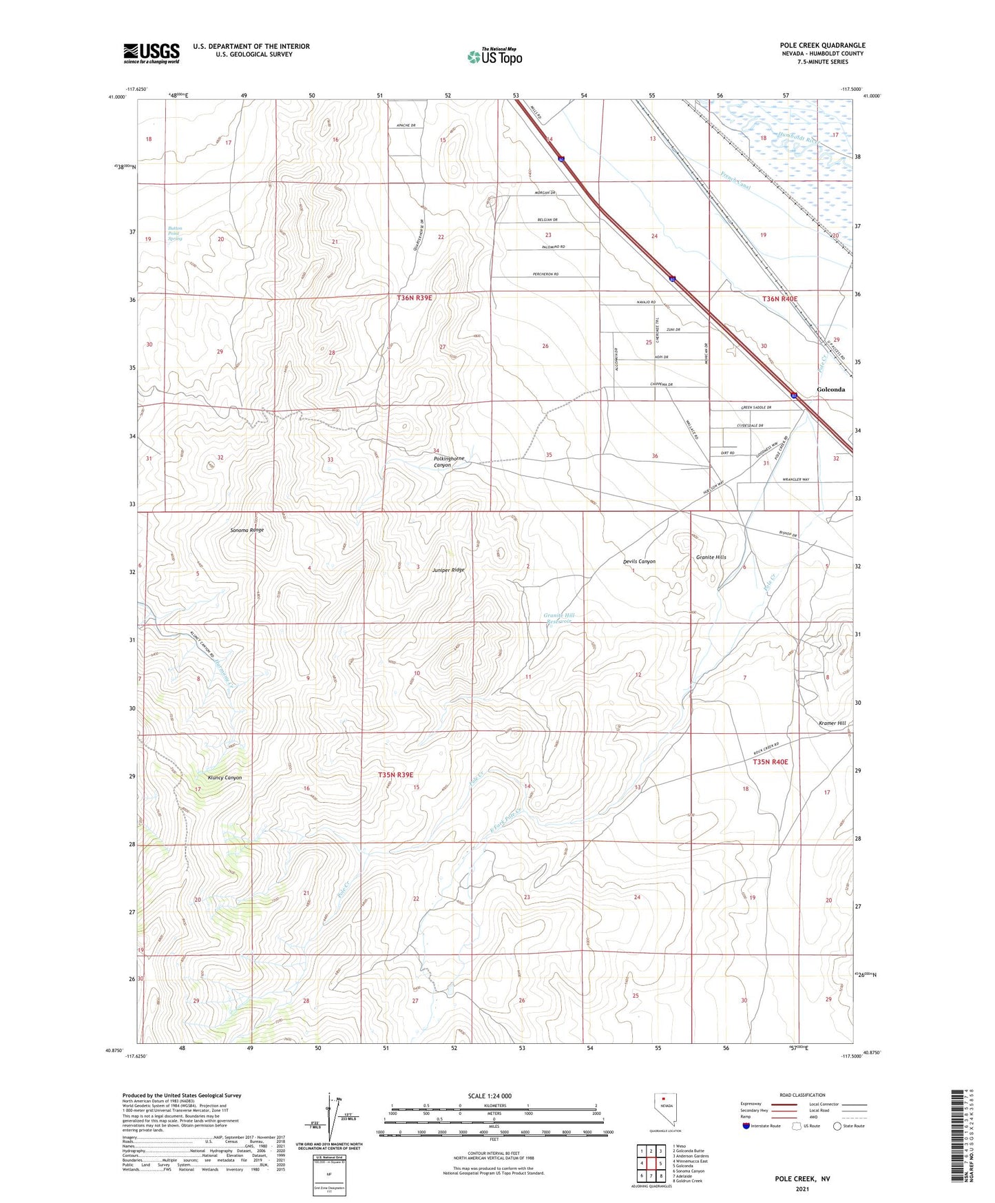
2021 topographic map quadrangle Pole Creek in the state of Nevada. Scale: 1:24000. Based on the newly updated USGS 7.5' US Topo map series, this map is in the following counties: Humboldt. The map contains contour data, water features, and other items you are used to seeing on USGS maps, but also has updated roads and other features. This is the next generation of topographic maps. Printed on high-quality waterproof paper with UV fade-resistant inks.
Quads adjacent to this one:
West: Winnemucca East
Northwest: Weso
North: Golconda Butte
Northeast: Anderson Gardens
East: Golconda
Southeast: Goldrun Creek
South: Adelaide
Southwest: Sonoma Canyon
This map covers the same area as the classic USGS quad with code o40117h5.
Contains the following named places: Button Point Spring, Devils Canyon, East Fork Pole Creek, Fairview, French Canal, Golconda Mill, Granite Hill Reservoir, Granite Hills, Juniper Ridge, Pole Creek, Polkinghorne Canyon, Whites Station