
MyTopo
Sheckler Reservoir Nevada US Topo Map
Couldn't load pickup availability
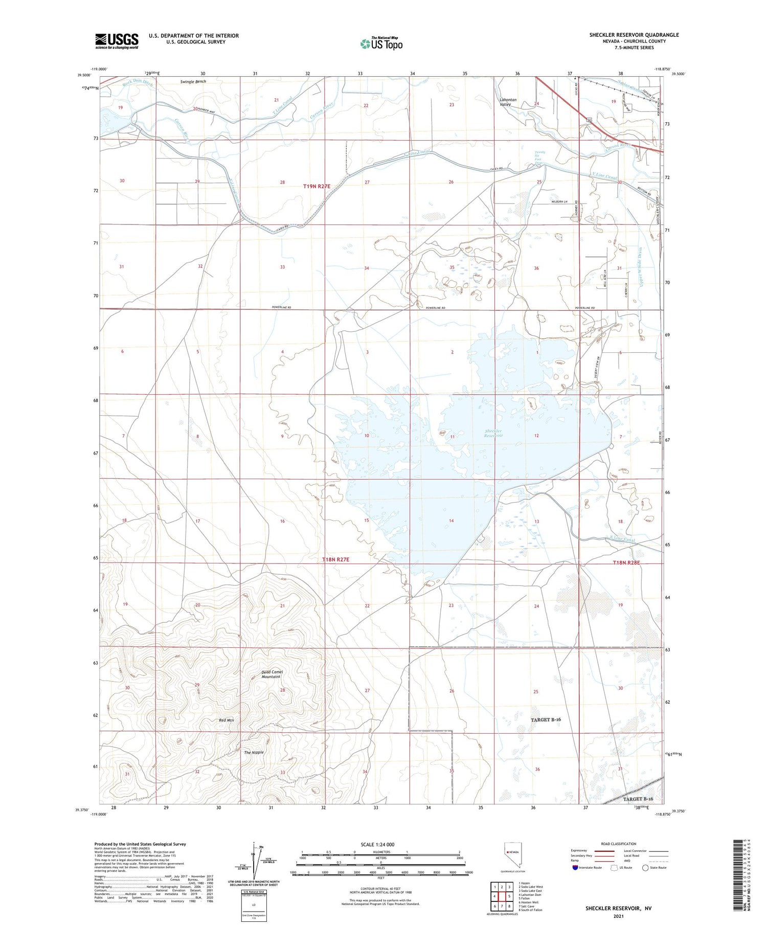
2021 topographic map quadrangle Sheckler Reservoir in the state of Nevada. Scale: 1:24000. Based on the newly updated USGS 7.5' US Topo map series, this map is in the following counties: Churchill. The map contains contour data, water features, and other items you are used to seeing on USGS maps, but also has updated roads and other features. This is the next generation of topographic maps. Printed on high-quality waterproof paper with UV fade-resistant inks.
Quads adjacent to this one:
West: Lahontan Dam
Northwest: Hazen
North: Soda Lake West
Northeast: Soda Lake East
East: Fallon
Southeast: South of Fallon
South: Salt Cave
Southwest: Hooten Well
Contains the following named places: Camp Gregory Mine, Carson Diversion Dam, Frey Ranch, Gregory, Lahontan Valley, Mirage, N Line Canal, Northam School, Red Mountain, Rock of Ages Baptist Academy, Sheckler Dam, Sheckler Reservoir, The Nipple, Twenty Six Foot Drop, Upper West Side Drain, V Line Canal, Willowtown


