MyTopo
Silver Springs South Nevada US Topo Map
Couldn't load pickup availability
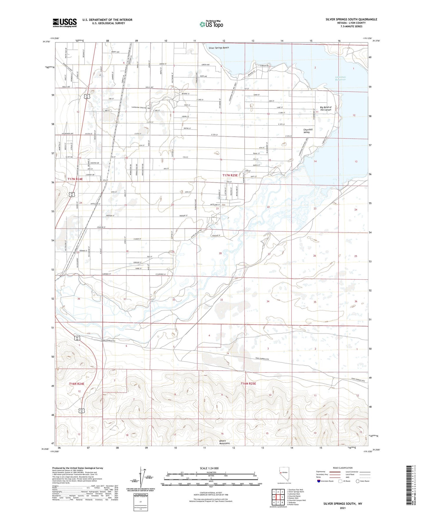
2021 topographic map quadrangle Silver Springs South in the state of Nevada. Scale: 1:24000. Based on the newly updated USGS 7.5' US Topo map series, this map is in the following counties: Lyon. The map contains contour data, water features, and other items you are used to seeing on USGS maps, but also has updated roads and other features. This is the next generation of topographic maps. Printed on high-quality waterproof paper with UV fade-resistant inks.
Quads adjacent to this one:
West: Churchill Butte
Northwest: Stockton Flat Well
North: Silver Springs North
Northeast: Lahontan Dam
East: Hooten Well
Southeast: Parker Butte
South: Wabuska
Southwest: Churchill Canyon Well
Contains the following named places: Big Bend of the Carson, Buckland Ditch, Churchill Valley, Davis Station, Faith Baptist Academy, Hughes Station, Jupiter Mine, Lahontan Well, Marshland, Marshland Post Office, Pawnee, Silver Springs Beach, Silver Springs Division